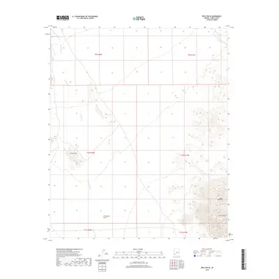
2018 Map of Wellton SE
USGS Topo · Published 2018About this map
Coyote Wash winds through the heart of this arid landscape, defining the drainage patterns that cross the northern Lechuguilla Desert. The terrain is characterized by isolated, stark elevations, most notably the Wellton Hills in the western portion and the rising slopes of the Copper Mountains to the southeast. These features stand as prominent landmarks against the desert floor, with Coyote Peak marking a high point in the southeastern corner. The map provides a clear look at the township and range survey system, showing how the land is partitioned across the desert southeast of Wellton. The absence of modern infrastructure beyond survey lines highlights the preserved, open character of this section of Yuma County, where natural topography remains the primary guide for navigation and land use.
Find a feature on this map
11 named features on this map. Tap any name to fly to it.
Don’t see what you’re looking for? This feature index may not catch every label — zoom into the map to look around manually.
Map Details
Editions of this 2018 Wellton SE Map
This is the sole edition of this map. No revisions or reprints were ever made.
Other maps of this area

1926 · Wellton
USGS Topo · 1:62,500

1926 · Mohawk
USGS Topo · 1:62,500

1928 · Mohawk
USGS Topo · 1:62,500

1929 · Wellton
USGS Topo · 1:62,500

1942 · Yuma
USGS Topo · 1:250,000

1953 · Ajo
USGS Topo · 1:250,000

1954 · El Centro
USGS Topo · 1:250,000

1955 · El Centro
USGS Topo · 1:250,000

1957 · Ajo
USGS Topo · 1:250,000

1958 · Ajo
USGS Topo · 1:250,000