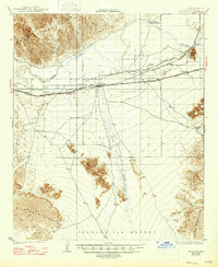
1929 Map of Wellton
USGS Topo · Published 1947About this map
Wellton serves as the focal point for this late 1920s survey of the lower Gila River valley. The infrastructure of the era is clearly defined by the Southern Pacific railroad and the Yuma Road, which parallel the river's course through the arid landscape. Agricultural development is evident through the network of irrigation systems including the Antelope Canal and Gila Bend Canal, which divert water to the Wellton Mesa and Gila Bend Valley. Beyond the river corridor, the terrain transitions sharply into the arid reaches of the Lechuguilla Desert and the craggy peaks of the Wellton Hills and Muggins Mountains. Historic travel markers like the Antelope Bridge and the small siding at Adonde illustrate the vital connection between water, rail, and early desert transit routes.
Find a feature on this map
21 named features on this map. Tap any name to fly to it.
Don’t see what you’re looking for? This feature index may not catch every label — zoom into the map to look around manually.
Map Details
Editions of this 1929 Wellton Map
3 editions found
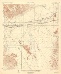
Other maps of this area

1926 · Fortuna
USGS Topo · 1:62,500

1926 · Wellton
USGS Topo · 1:62,500

1926 · Mohawk
USGS Topo · 1:62,500

1928 · Mohawk
USGS Topo · 1:62,500

1928 · Norton
USGS Topo · 1:62,500

1929 · Fortuna
USGS Topo · 1:62,500

1929 · Laguna
USGS Topo · 1:62,500

1929 · Wellton
USGS Topo · 1:62,500

1929 · Norton
USGS Topo · 1:62,500

1942 · Yuma
USGS Topo · 1:250,000