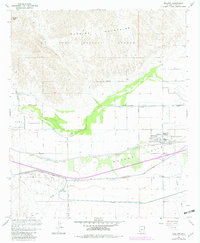
1965 Map of Wellton
USGS Topo · Published 1982About this map
The Gila River meanders across this desert landscape, its course flanked by the agricultural expanses of Dome Valley and Mohawk Valley. The community of Wellton serves as a hub for the region's complex irrigation network, which includes the Mohawk Main Channel, the Mohawk Canal, and numerous siphons and aqueducts managed by the Bureau of Reclamation. To the south, the historic Camino Del Diablo follows its approximate eastern route through the arid terrain, a reminder of the area's long-standing role as a corridor for travelers and explorers.
Find a feature on this map
30 named features on this map. Tap any name to fly to it.
Don’t see what you’re looking for? This feature index may not catch every label — zoom into the map to look around manually.
Map Details
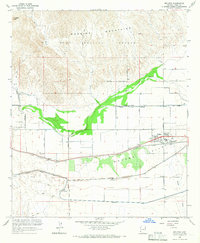
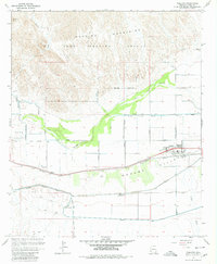
Editions of this 1965 Wellton Map
3 editions found
Other maps of this area

1926 · Fortuna
USGS Topo · 1:62,500

1926 · Wellton
USGS Topo · 1:62,500

1929 · Fortuna
USGS Topo · 1:62,500

1929 · Laguna
USGS Topo · 1:62,500

1929 · Wellton
USGS Topo · 1:62,500

1942 · Yuma
USGS Topo · 1:250,000

1943 · Laguna
USGS Topo · 1:62,500

1954 · El Centro
USGS Topo · 1:250,000

1955 · El Centro
USGS Topo · 1:250,000
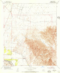
1955 · Dome
USGS Topo · 1:24,000