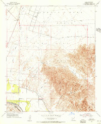
1955 Map of Dome
USGS Topo · Published 1956About this map
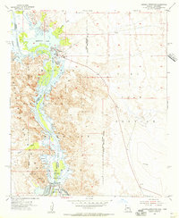
The Gila River flows through the southern portion of this desert landscape, its course managed by the Dome Levee and a network of canals. The small settlement of Dome sits at the foot of the Muggins Mesa, marking a historic transit point where the Southern Pacific railroad parallels the ancient path of the Butterfield Stage Route. To the north, the vast Castle Dome Plain is characterized by numerous drainage systems such as Castle Dome Wash and Vinegarroon Wash, leading toward the military boundaries of the Yuma Test Station. The topography transitions from the alluvial plains into the high relief of the Muggins Mountains, where landmarks like Klothos Temple dominate the horizon. This mid-century survey captures the region's reliance on water management and transportation corridors in a challenging environment.
Find a feature on this map
63 named features on this map. Tap any name to fly to it.
Don’t see what you’re looking for? This feature index may not catch every label — zoom into the map to look around manually.
Map Details
Editions of this 1955 Dome Map
4 editions found
Other maps of this area

1926 · Fortuna
USGS Topo · 1:62,500

1926 · Wellton
USGS Topo · 1:62,500

1929 · Fortuna
USGS Topo · 1:62,500

1929 · Laguna
USGS Topo · 1:62,500

1929 · Wellton
USGS Topo · 1:62,500

1942 · Yuma
USGS Topo · 1:250,000

1943 · Laguna
USGS Topo · 1:62,500

1954 · El Centro
USGS Topo · 1:250,000

1955 · El Centro
USGS Topo · 1:250,000
1955 · Imperial Reservoir
USGS Topo · 1:24,000