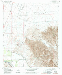
1955 Map of Dome
USGS Topo · Published 1986About this map
The Gila River corridor near Dome serves as a critical junction for transportation and water management in this arid reach of Yuma County. Surveyed by the U.S. Bureau of Reclamation between 1936 and 1941, the landscape reflects the desert’s transition into an agricultural and military zone, evidenced by the Dome Canal and the sprawling Yuma Test Station. The historic Butterfield Stage Route parallels the Southern Pacific tracks, tracing a path through the valley floor that has connected the region since the mid-19th century.
Find a feature on this map
37 named features on this map. Tap any name to fly to it.
Don’t see what you’re looking for? This feature index may not catch every label — zoom into the map to look around manually.
Map Details
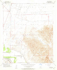
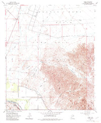
Editions of this 1955 Dome Map
4 editions found
Other maps of this area

1926 · Fortuna
USGS Topo · 1:62,500

1926 · Wellton
USGS Topo · 1:62,500

1929 · Fortuna
USGS Topo · 1:62,500

1929 · Laguna
USGS Topo · 1:62,500

1929 · Wellton
USGS Topo · 1:62,500

1942 · Yuma
USGS Topo · 1:250,000

1943 · Laguna
USGS Topo · 1:62,500

1954 · El Centro
USGS Topo · 1:250,000

1955 · El Centro
USGS Topo · 1:250,000
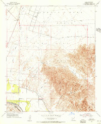
1955 · Dome
USGS Topo · 1:24,000