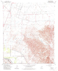
1955 Map of Dome
USGS Topo · Published 1982About this map
Gila River waters define the southern edge of this desert landscape, where the historic Butterfield Stage Route and the Southern Pacific railroad corridor intersect at the small settlement of Dome. The map illustrates a complex network of dry washes, including Castle Dome Wash and Vinegarroon Wash, draining the southern slopes of the Muggins Mountains and the heights of Klothos Temple. To the north, the Castle Dome Plain stretches across the Yuma Test Station military area, punctuated only by a lone County Well and scattered towers. This survey captures a moment of transition where traditional overland travel routes and early irrigation efforts like the Dome Canal met the expanding military and industrial infrastructure of the mid-20th century.
Find a feature on this map
30 named features on this map. Tap any name to fly to it.
Don’t see what you’re looking for? This feature index may not catch every label — zoom into the map to look around manually.
Map Details
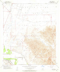
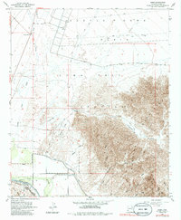
Editions of this 1955 Dome Map
4 editions found
Other maps of this area

1926 · Fortuna
USGS Topo · 1:62,500

1926 · Wellton
USGS Topo · 1:62,500

1929 · Fortuna
USGS Topo · 1:62,500

1929 · Laguna
USGS Topo · 1:62,500

1929 · Wellton
USGS Topo · 1:62,500

1942 · Yuma
USGS Topo · 1:250,000

1943 · Laguna
USGS Topo · 1:62,500

1954 · El Centro
USGS Topo · 1:250,000

1955 · El Centro
USGS Topo · 1:250,000
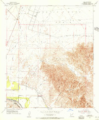
1955 · Dome
USGS Topo · 1:24,000