
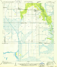
1947 Map of Welsh
USGS Topo · Published 1947About this map
Welsh and its surrounding prairie landscapes are defined here by an intricate network of irrigation and drainage essential to the regional rice-growing economy. In this mid-century view, the Southern Pacific railroad serves as the primary artery for the town, while U S Highway No 90 parallels the tracks as it heads toward Roanoke. To the south, the natural meandering of East Bayou Lacassine and Bayou Chene contrasts sharply with the engineered precision of the Welsh Canal and Sturdivant Canal. These waterways, supported by several Pump Houses, reflect a landscape heavily modified for agriculture. Beyond the town limits, rural life is anchored by landmarks such as the Niblett Sch and scattered silos, providing valuable points of reference for genealogists researching families in Jefferson Davis Parish.
Find a feature on this map
16 named features on this map. Tap any name to fly to it.
Don’t see what you’re looking for? This feature index may not catch every label — zoom into the map to look around manually.
Map Details
Editions of this 1947 Welsh Map
This is the sole edition of this map. No revisions or reprints were ever made.
Other maps of this area

1946 · Lacassine
USGS Topo · 1:31,680

1946 · Lake Arthur
USGS Topo · 1:31,680

1946 · Hayes
USGS Topo · 1:31,680

1946 · Jennings
USGS Topo · 1:31,680

1947 · Fenton
USGS Topo · 1:31,680

1947 · Thornwell
USGS Topo · 1:31,680

1947 · Pine Island
USGS Topo · 1:31,680

1947 · Hathaway
USGS Topo · 1:31,680
1949 · Hayes
USGS Topo · 1:31,680

1950 · Fenton
USGS Topo · 1:31,680