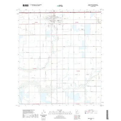
2020 Map of Welsh South
USGS Topo · Published 2020About this map
Welsh serves as the focal point for this section of Jefferson Davis Parish, situated where the northern agricultural plains meet the intricate waterways of south Louisiana. The town's grid is dense with local history markers, including Our Lady of Seven Dolors Catholic Cem and Oaklawn Cem. This area reveals the critical intersection of transportation and the landscape, with Welsh Airport and the Ag Aviation Airport supporting the region's long-standing reliance on aerial crop management for the surrounding rice and crawfish fields. The natural drainage of East Bayou Lacassine and Bayou Chene is augmented by man-made infrastructure like the Welsh Canal, illustrating a hybrid landscape where natural bayous have been channeled to support a sophisticated irrigation and transport network.
Find a feature on this map
89 named features on this map. Tap any name to fly to it.
Don’t see what you’re looking for? This feature index may not catch every label — zoom into the map to look around manually.
Map Details
Editions of this 2020 Welsh South Map
This is the sole edition of this map. No revisions or reprints were ever made.
Other maps of this area

1946 · Lacassine
USGS Topo · 1:31,680

1946 · Lake Arthur
USGS Topo · 1:31,680

1946 · Hayes
USGS Topo · 1:31,680

1946 · Jennings
USGS Topo · 1:31,680

1947 · Fenton
USGS Topo · 1:31,680

1947 · Thornwell
USGS Topo · 1:31,680

1947 · Pine Island
USGS Topo · 1:31,680

1947 · Welsh
USGS Topo · 1:31,680

1947 · Hathaway
USGS Topo · 1:31,680
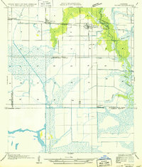
1949 · Hayes
USGS Topo · 1:31,680