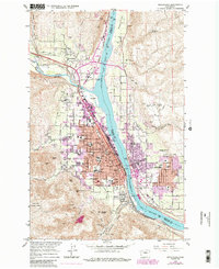
2023 Map of Wenatchee
USGS Topo · Published 2023About this map
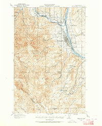
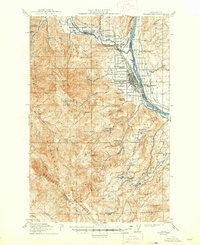
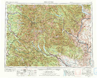
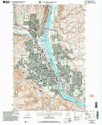
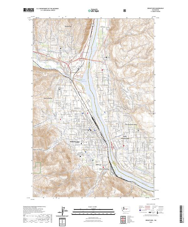
The Columbia River carves a deep valley between Chelan and Douglas counties, defining the urban development of Wenatchee and its neighboring benches. This modern survey illustrates how irrigation systems like the High Line Canal, Columbia Lateral, and Wenatchee Reclamation Ditch have transformed the arid terrain of Baker Flats and Birch Flat into a productive agricultural and residential hub. The city's civic core is anchored by the Chelan County Courthouse and Wenatchee Valley College, while the residential sprawl extends into the foothills near Number One Canyon and Number Two Canyon.
Find a feature on this map
63 named features on this map. Tap any name to fly to it.
Don’t see what you’re looking for? This feature index may not catch every label — zoom into the map to look around manually.
Map Details
Editions of this 2023 Wenatchee Map
This is the sole edition of this map. No revisions or reprints were ever made.
Historical Maps of Olds Through Time
7 maps found