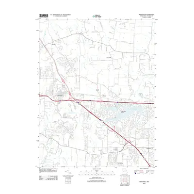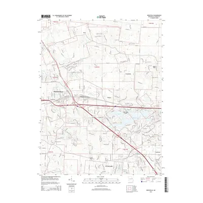
2021 Map of Wentzville
USGS Topo · Published 2021About this map
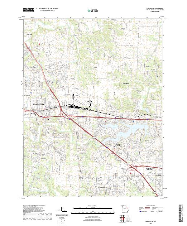
Wentzville and its surrounding communities in St. Charles County are presented here during a period of significant suburban expansion. The infrastructure is dominated by the convergence of major corridors including Interstate 70, US Hwy 61, and Interstate 64, which facilitate the growth of residential developments like Swaying Oaks Manor. While the landscape has modernized, older community anchors remain visible, such as Saint Patrick Church and Linn Cem in the heart of town.
Find a feature on this map
38 named features on this map. Tap any name to fly to it.
Don’t see what you’re looking for? This feature index may not catch every label — zoom into the map to look around manually.
Map Details
Editions of this 2021 Wentzville Map
This is the sole edition of this map. No revisions or reprints were ever made.
Historical Maps of O'Fallon Through Time
7 maps found