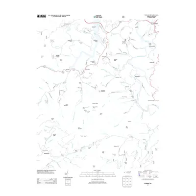
2013 Map of Wesser
USGS Topo · Published 2013About this map
Fontana Lake and the Little Tennessee River dominate this mountain landscape, providing a clear view of the area's geography and development. The Nantahala Gorge carves through the terrain near the settlement of Wesser, a known point for those navigating the high peaks and gap crossings. This survey captures a moment when the rugged forest lands and deep coves supported a network of small settlements like Almond, Needmore, and Tellico, often situated near water sources such as Tellico Cr and Wesser Cr.
Find a feature on this map
169 named features on this map. Tap any name to fly to it.
Don’t see what you’re looking for? This feature index may not catch every label — zoom into the map to look around manually.
Map Details
Editions of this 2013 Wesser Map
This is the sole edition of this map. No revisions or reprints were ever made.
Other maps of this area

1891 · Cowee
USGS Topo · 1:125,000

1897 · Cowee
USGS Topo · 1:125,000

1907 · Cowee
USGS Topo · 1:125,000

1933 · Bryson
USGS Topo · 1:62,500

1933 · Bushnell
USGS Topo · 1:62,500

1935 · Franklin
USGS Topo · 1:24,000

1935 · Burningtown Bald
USGS Topo · 1:24,000

1935 · Topton
USGS Topo · 1:24,000

1935 · Wayah Bald
USGS Topo · 1:48,000

1936 · Proctor
USGS Topo · 1:24,000