
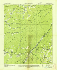
1936 Map of Proctor
USGS Topo · Published 1936About this map
Proctor and the Little Tennessee River corridor define this 1936 survey, conducted by the Tennessee Valley Authority and the Geological Survey. The landscape is marked by the industrial infrastructure of the era, notably the mill flumes and multiple mills located near the settlement of Proctor. This community serves as a focal point in the northern section, supported by the Calhoun Coburn Sch and Proctor Cem.
Find a feature on this map
86 named features on this map. Tap any name to fly to it.
Don’t see what you’re looking for? This feature index may not catch every label — zoom into the map to look around manually.
Map Details
Editions of this 1936 Proctor Map
This is the sole edition of this map. No revisions or reprints were ever made.
Other maps of this area

1886 · Knoxville
USGS Topo · 1:125,000

1892 · Knoxville
USGS Topo · 1:125,000

1894 · Knoxville
USGS Topo · 1:125,000

1895 · Knoxville
USGS Topo · 1:125,000

1901 · Knoxville
USGS Topo · 1:125,000

1933 · Bushnell
USGS Topo · 1:62,500

1935 · Robbinsville
USGS Topo · 1:24,000

1935 · Fontana
USGS Topo · 1:24,000

1936 · Wesser
USGS Topo · 1:24,000
1936 · Hewitt
USGS Topo · 1:24,000