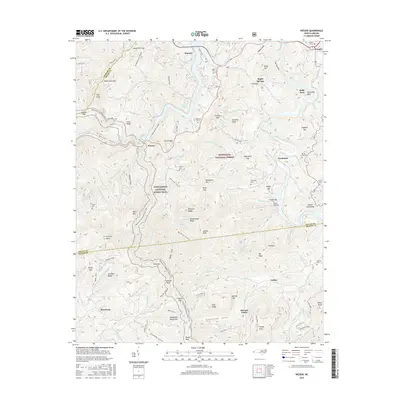
2016 Map of Wesser
USGS Topo · Published 2016About this map
Wesser and Almond anchor this mountainous section of the Nantahala National Forest, where the Nantahala River flows through the deep Nantahala Gorge toward its confluence at Fontana Lake. The Appalachian National Scenic Trail winds through the terrain, passing over significant high points such as Wesser Bald and Tellico Gap. Historically significant points for genealogists include numerous family-named burial grounds like Tabor Cem, Ledbetter Cem, and Brush Creek Cem. Small settlements and naming conventions such as Needmore, Tellico, and Maple Springs suggest a landscape defined by isolated creek valleys and high ridges. The map illustrates a complex network of forest drainage, featuring dozens of named branches like Bird Falls Br and Hurricane Br that feed into the larger river systems of the Little Tennessee River.
Find a feature on this map
124 named features on this map. Tap any name to fly to it.
Don’t see what you’re looking for? This feature index may not catch every label — zoom into the map to look around manually.
Map Details
Editions of this 2016 Wesser Map
This is the sole edition of this map. No revisions or reprints were ever made.
Other maps of this area

1891 · Cowee
USGS Topo · 1:125,000

1897 · Cowee
USGS Topo · 1:125,000

1907 · Cowee
USGS Topo · 1:125,000

1933 · Bryson
USGS Topo · 1:62,500

1933 · Bushnell
USGS Topo · 1:62,500

1935 · Franklin
USGS Topo · 1:24,000

1935 · Burningtown Bald
USGS Topo · 1:24,000

1935 · Topton
USGS Topo · 1:24,000

1935 · Wayah Bald
USGS Topo · 1:48,000

1936 · Proctor
USGS Topo · 1:24,000