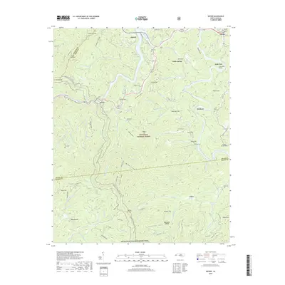
2019 Map of Wesser
USGS Topo · Published 2019About this map
Lake Fontana and the Little Tennessee River anchor this mountain landscape at the convergence of Swain, Graham, and Macon counties. The Appalachian National Scenic Trail winds through the terrain, passing landmark gaps and ridges within the Nantahala National Forest. Small settlements and named communities like Almond, Wesser, and Needmore are dispersed among the coves, reflecting a history of river-valley habitation. The geography is defined by a dense network of family-named landmarks and cemeteries, including Lauada Cemetery and Wesser Cemetery, which offer valuable points of reference for genealogists tracing local lineage. Notable river features such as Horseshoe Bend and the crossing at Halls Ford emphasize the historical importance of the water for transport and orientation in this complex Appalachian topography.
Find a feature on this map
120 named features on this map. Tap any name to fly to it.
Don’t see what you’re looking for? This feature index may not catch every label — zoom into the map to look around manually.
Map Details
Editions of this 2019 Wesser Map
This is the sole edition of this map. No revisions or reprints were ever made.
Other maps of this area

1891 · Cowee
USGS Topo · 1:125,000

1897 · Cowee
USGS Topo · 1:125,000

1907 · Cowee
USGS Topo · 1:125,000

1933 · Bryson
USGS Topo · 1:62,500

1933 · Bushnell
USGS Topo · 1:62,500

1935 · Franklin
USGS Topo · 1:24,000

1935 · Burningtown Bald
USGS Topo · 1:24,000

1935 · Topton
USGS Topo · 1:24,000

1935 · Wayah Bald
USGS Topo · 1:48,000

1936 · Proctor
USGS Topo · 1:24,000