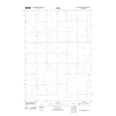
2012 Map of Wessington Springs SW
USGS Topo · Published 2012About this map
Hope Cem sits as a solitary historic anchor within the rural landscape of Crow Lake Township. This agricultural section of Jerauld County is defined by a rigorous section-line road grid, including 225th St and 374th Ave, which organizes the sprawling prairie terrain. The natural drainage of the region is shaped by the winding paths of Smith Cr and its tributary, E Fork Smith Cr. These waterways cut through the geometric precision of the township roads, creating pockets of varied elevation and wetland areas typical of the eastern South Dakota plains. The map reflects a landscape dedicated almost entirely to large-scale agriculture, where the placement of cemeteries like Hope provides a vital link to the early pioneer families who first established these section-line homesteads.
Find a feature on this map
18 named features on this map. Tap any name to fly to it.
Don’t see what you’re looking for? This feature index may not catch every label — zoom into the map to look around manually.
Map Details
Editions of this 2012 Wessington Springs SW Map
This is the sole edition of this map. No revisions or reprints were ever made.
Other maps of this area

1941 · Kimball North
USGS Topo · 1:62,500

1942 · Crow Lake
USGS Topo · 1:62,500

1951 · Kimball North
USGS Topo · 1:62,500

1953 · Huron
USGS Topo · 1:250,000

1954 · Huron
USGS Topo · 1:250,000

1955 · Mitchell
USGS Topo · 1:250,000

1959 · Mitchell
USGS Topo · 1:250,000

1973 · Wessington Springs NE
USGS Topo · 1:24,000

1973 · Cottonwood Lake
USGS Topo · 1:24,000

1973 · Wessington Springs
USGS Topo · 1:24,000