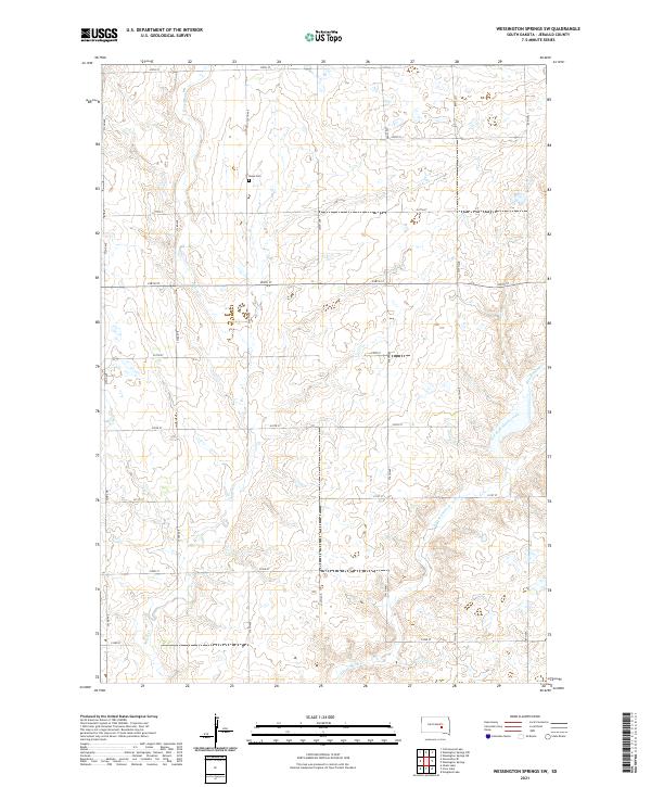
2021 Map of Wessington Springs SW
USGS Topo · Published 2021About this map
The rolling grasslands of Jerauld County are defined by the intricate drainage of Smith Cr and the East Fork Smith Creek. This rural landscape is strictly organized by the Public Land Survey System, with the map covering portions of Township 108 North, Range 66 West and neighboring jurisdictions. The settlement pattern is sparse, consisting primarily of section-line roads such as 372nd Ave and 225th St, reflecting the persistent agricultural character of the region into the twenty-first century. One of the few enduring community landmarks is Hope Cem, situated in the northern reaches of the quadrangle. The topography is marked by a series of draws and depressions that feed into E Fork Smith Cr, illustrating the subtle yet complex hydrology of the South Dakota prairie.
Find a feature on this map
26 named features on this map. Tap any name to fly to it.
Don’t see what you’re looking for? This feature index may not catch every label — zoom into the map to look around manually.
Map Details
Editions of this 2021 Wessington Springs SW Map
This is the sole edition of this map. No revisions or reprints were ever made.
Other maps of this area

1941 · Kimball North
USGS Topo · 1:62,500

1942 · Crow Lake
USGS Topo · 1:62,500

1951 · Kimball North
USGS Topo · 1:62,500

1953 · Huron
USGS Topo · 1:250,000

1954 · Huron
USGS Topo · 1:250,000

1955 · Mitchell
USGS Topo · 1:250,000

1959 · Mitchell
USGS Topo · 1:250,000

1973 · Wessington Springs NE
USGS Topo · 1:24,000

1973 · Cottonwood Lake
USGS Topo · 1:24,000

1973 · Wessington Springs
USGS Topo · 1:24,000