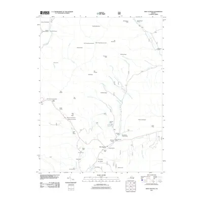
2011 Map of West Augusta
USGS Topo · Published 2011About this map
West Augusta sits at the intersection of mountain drafts and hollows where the Calfpasture River begins its course. This 2011 survey illustrates a landscape defined by significant elevation changes and numerous watercourses, from Jennings Branch to the North River in the northeast. The geography is characterized by high points like Big Bald Knob and Hardscrabble Knob, which overlook a network of narrow valleys and named gaps such as Stillhouse Hollow and Horse Trough Hollow.
Find a feature on this map
65 named features on this map. Tap any name to fly to it.
Don’t see what you’re looking for? This feature index may not catch every label — zoom into the map to look around manually.
Map Details
Editions of this 2011 West Augusta Map
This is the sole edition of this map. No revisions or reprints were ever made.
Other maps of this area

1894 · Staunton
USGS Topo · 1:125,000

1924 · Mc Dowell
USGS Topo · 1:62,500

1943 · Craigsville
USGS Topo · 1:62,500

1944 · Parnassus
USGS Topo · 1:62,500

1944 · Mc Dowell
USGS Topo · 1:62,500

1944 · Staunton
USGS Topo · 1:62,500

1945 · Craigsville
USGS Topo · 1:62,500

1946 · Mc Dowell
USGS Topo · 1:62,500

1947 · Staunton
USGS Topo · 1:62,500

1947 · Parnassus
USGS Topo · 1:62,500