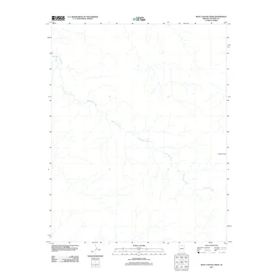
2011 Map of West Canyon Creek
USGS Topo · Published 2011About this map
West Canyon Creek meanders across this northern Arizona landscape, carving a complex network of drainage patterns into the high desert plateau of Coconino County. The topography is defined by significant vertical relief, most notably at Octagon Butte, a prominent landform that stands as a singular named landmark in an otherwise largely unpopulated expanse. This 2011 survey illustrates the intricate natural hydrology of the region, where numerous unnamed seasonal tributaries feed into the primary creek system, revealing the erosional forces that shape the desert floor. The map provides a clear record of the area's physical geography at the start of the 21st century, prior to modern developments or changes in land designation.
Find a feature on this map
2 named features on this map. Tap any name to fly to it.
Don’t see what you’re looking for? This feature index may not catch every label — zoom into the map to look around manually.
Map Details
Editions of this 2011 West Canyon Creek Map
2 editions found
Other maps of this area

1883 · Marsh Pass
USGS Topo · 1:250,000

1886 · Escalante
USGS Topo · 1:250,000

1886 · Henry Mountains
USGS Topo · 1:250,000

1886 · Echo Cliffs
USGS Topo · 1:250,000

1891 · Echo Cliffs
USGS Topo · 1:250,000

1892 · Marsh Pass
USGS Topo · 1:250,000

1892 · Henry Mountains
USGS Topo · 1:250,000

1953 · Cummings Mesa
USGS Topo · 1:62,500

1953 · Navajo Mountain
USGS Topo · 1:62,500

1954 · Navajo Creek
USGS Topo · 1:62,500