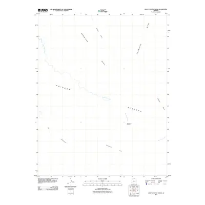
2011 Map of West Canyon Creek
USGS Topo · Published 2011About this map
West Canyon Creek carves through a high desert landscape defined by massive uplifted formations in this northern Arizona survey. The drainage system originates near the Rainbow Plateau and winds northwest toward the expansive Cummings Mesa. This terrain is marked by distinctive named landmarks like Octagon Butte and deep incisions such as Wetherill Canyon, illustrating the complex erosional patterns of the Colorado Plateau. The inclusion of indigenous place names, such as Nashdoi Yiyiisxini, Sel Biibik ooh, and Honishoosh Atiin, provides a specific cultural geography often omitted from earlier topographic works. These labels offer vital clues for researchers documenting the historical movement and land use patterns of the area's native inhabitants within this arid environment.
Find a feature on this map
8 named features on this map. Tap any name to fly to it.
Don’t see what you’re looking for? This feature index may not catch every label — zoom into the map to look around manually.
Map Details
Editions of this 2011 West Canyon Creek Map
2 editions found
Other maps of this area

1883 · Marsh Pass
USGS Topo · 1:250,000

1886 · Escalante
USGS Topo · 1:250,000

1886 · Henry Mountains
USGS Topo · 1:250,000

1886 · Echo Cliffs
USGS Topo · 1:250,000

1891 · Echo Cliffs
USGS Topo · 1:250,000

1892 · Marsh Pass
USGS Topo · 1:250,000

1892 · Henry Mountains
USGS Topo · 1:250,000

1953 · Cummings Mesa
USGS Topo · 1:62,500

1953 · Navajo Mountain
USGS Topo · 1:62,500

1954 · Navajo Creek
USGS Topo · 1:62,500