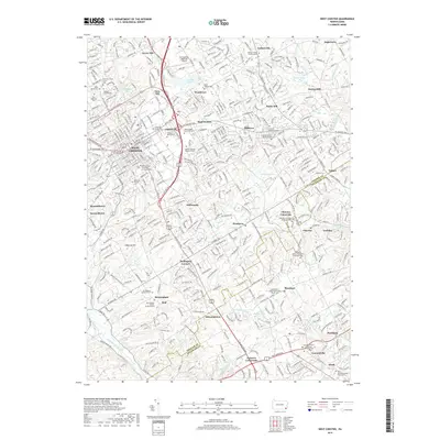
2019 Map of West Chester
USGS Topo · Published 2019About this map
The historic borough of West Chester serves as the focal point of this survey, anchored by the Chester County Courthouse and the expansive campus of West Chester University of Pennsylvania. The landscape is characterized by a dense concentration of Quaker heritage sites and family burial plots, reflecting the area's deep colonial roots. Notable examples include the Goshen Friends Burial Ground, Birmingham Friends Burial Ground, and the Hickman Family Burial Ground. This 2019 data illustrates the continued prominence of academic institutions, featuring both West Chester and Cheyney University to the southeast. To the south, the historic crossroads at Dilworthtown and Birmingham sit near the winding course of Brandywine Creek, while the northeast is dotted with traditional settlements like Goshenville and Sugartown. This map preserves the locations of numerous historic cemeteries, such as the Thornbury African Methodist Episcopal Cem, which are vital for genealogical research in Chester County.
Find a feature on this map
91 named features on this map. Tap any name to fly to it.
Don’t see what you’re looking for? This feature index may not catch every label — zoom into the map to look around manually.
Map Details
Editions of this 2019 West Chester Map
This is the sole edition of this map. No revisions or reprints were ever made.
Other maps of this area

1894 · Chester
USGS Topo · 1:62,500

1894 · Norristown
USGS Topo · 1:62,500

1895 · Norristown
USGS Topo · 1:62,500

1896 · Norristown
USGS Topo · 1:62,500

1896 · Chester
USGS Topo · 1:62,500

1898 · Chester
USGS Topo · 1:62,500

1901 · Camden
USGS Topo · 1:125,000

1901 · West Chester
USGS Topo · 1:62,500

1904 · West Chester
USGS Topo · 1:62,500

1906 · Phoenixville
USGS Topo · 1:62,500
Featured Places
- West Goshen Township, PA
- West Chester, PA
- Willistown Township, PA
- Westtown, Thornbury Township
- Birmingham Township, PA