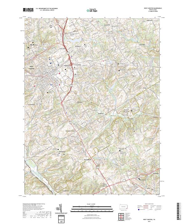
2023 Map of West Chester
USGS Topo · Published 2023About this map
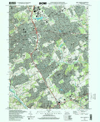
The County Courthouse and Chester University of Pennsylvania anchor the urban grid of West Chester, reflecting its role as a regional center of education and government. Moving outward, the landscape transitions into a network of historic crossroads and university grounds, including the campus of Cheyney University of Pennsylvania to the southeast. The area is defined by the winding course of Brandywine Creek and its tributaries, such as East Branch Chester Creek and Radley Run.
Find a feature on this map
75 named features on this map. Tap any name to fly to it.
Don’t see what you’re looking for? This feature index may not catch every label — zoom into the map to look around manually.
Map Details
Editions of this 2023 West Chester Map
This is the sole edition of this map. No revisions or reprints were ever made.
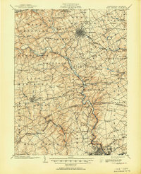
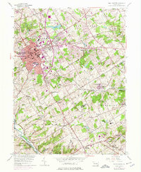
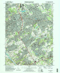
Historical Maps of Tanguy Through Time
7 maps found


Featured Locations
- West Chester, PA
- West Goshen Township, PA
- Birmingham Township, PA
- Willistown Township, PA
- Westtown, Thornbury Township