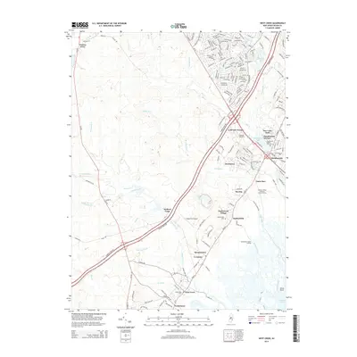
2014 Map of West Creek
USGS Topo · Published 2014About this map
The coastal plains and wetlands of Ocean County are defined by a network of drainage creeks and established villages along the Barnegat Bay corridor. Manahawkin and West Creek anchor a chain of settlements that include Staffordville, Mayetta, and Cedar Run, all tied together by the north-south routes of Us-9 and the Garden State Pky. Inland, the landscape transitions into the denser vegetation of the Pine Barrens, where the Stafford Forge area and the remote Warren Grove suggest a history of early industry and isolation. Local recreational and utility infrastructure is prominent, from the Lakeside Speedway and Deer Lake Park to the Southern Water Pollution Control Facility. Notable for genealogists and local historians, several burial sites are recorded, including the Manahawkin Baptist Church Cem and Greenwood Cem. Waterways like Westecunk Cr and Mill Cr dominate the hydrology, feeding into the tidal margins near Horse Point.
Find a feature on this map
174 named features on this map. Tap any name to fly to it.
Don’t see what you’re looking for? This feature index may not catch every label — zoom into the map to look around manually.
Map Details
Editions of this 2014 West Creek Map
This is the sole edition of this map. No revisions or reprints were ever made.
Other maps of this area

1884 · Whitings
USGS Topo · 1:62,500

1888 · Barnegat
USGS Topo · 1:62,500

1888 · Little Egg Harbor
USGS Topo · 1:62,500

1888 · Long Beach
USGS Topo · 1:62,500

1888 · Whitings
USGS Topo · 1:62,500

1893 · Little Egg Harbor
USGS Topo · 1:62,500

1893 · Long Beach
USGS Topo · 1:62,500

1893 · Barnegat
USGS Topo · 1:62,500

1898 · Barnegat
USGS Topo · 1:62,500

1919 · Long Beach
USGS Topo · 1:62,500
Featured Places
- Stafford Township, NJ
- Barnegat Township, NJ
- Little Egg Harbor Township, NJ
- Eagleswood Township, NJ
- Coxstown, Eagleswood Township