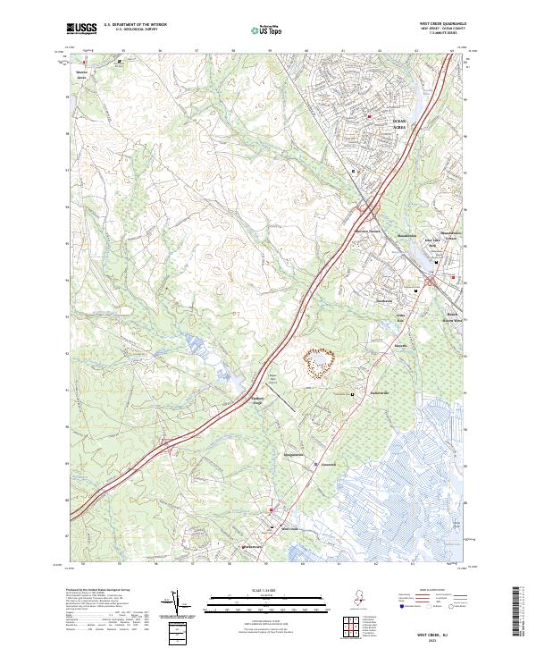
2023 Map of West Creek
USGS Topo · Published 2023About this map
Manahawkin and the surrounding coastal plain of Ocean County appear here at a moment of modern development intermixed with deep-seated historical roots. The landscape is defined by the transition from the dense pine barrens of Bass River State Forest to the coastal residential tracts of Ocean Acres and Beach Haven West. Significant water systems like Westecunk Creek and Manahawkin Lake dominate the geography, while smaller tributaries such as Rail Swamp Branch and Log Swamp Branch drain the low-lying swamps.
Find a feature on this map
205 named features on this map. Tap any name to fly to it.
Don’t see what you’re looking for? This feature index may not catch every label — zoom into the map to look around manually.
Map Details
Editions of this 2023 West Creek Map
This is the sole edition of this map. No revisions or reprints were ever made.
Other maps of this area

1884 · Whitings
USGS Topo · 1:62,500

1888 · Barnegat
USGS Topo · 1:62,500

1888 · Little Egg Harbor
USGS Topo · 1:62,500

1888 · Long Beach
USGS Topo · 1:62,500

1888 · Whitings
USGS Topo · 1:62,500

1893 · Little Egg Harbor
USGS Topo · 1:62,500

1893 · Long Beach
USGS Topo · 1:62,500

1893 · Barnegat
USGS Topo · 1:62,500

1898 · Barnegat
USGS Topo · 1:62,500

1919 · Long Beach
USGS Topo · 1:62,500
Featured Places
- Stafford Township, NJ
- Barnegat Township, NJ
- Little Egg Harbor Township, NJ
- Eagleswood Township, NJ
- Cedar Run, Stafford Township