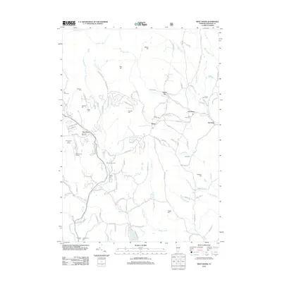
2012 Map of West Dover
USGS Topo · Published 2012About this map
The Rock River and North Branch Deerfield River carve through the rugged Windham County landscape, anchoring a series of small settlements including West Dover, East Dover, and the curiously named Goose City. This modern survey reveals a region defined by its recreational transition, where the Mount Snow Golf Course and Mount Snow Airport coexist with deep-rooted genealogical landmarks. Family history is etched into the terrain through numerous burial sites like the Timson Moore Cem, Hathaway Cem, and Cutting Cem, often located near prominent heights such as Cooper Hill and Rice Hill. The map meticulously details the intricate network of rural corridors, from the Frost Hollow Trl to Jockey Hollow Rd, illustrating how modern infrastructure follows the natural contours of the Green Mountains' eastern slopes near Lake Raponda.
Find a feature on this map
125 named features on this map. Tap any name to fly to it.
Don’t see what you’re looking for? This feature index may not catch every label — zoom into the map to look around manually.
Map Details
Editions of this 2012 West Dover Map
This is the sole edition of this map. No revisions or reprints were ever made.
Other maps of this area

1889 · Wilmington
USGS Topo · 1:62,500

1891 · Wilmington
USGS Topo · 1:62,500

1891 · Brattleboro
USGS Topo · 1:62,500

1893 · Brattleboro
USGS Topo · 1:62,500

1894 · Londonderry
USGS Topo · 1:62,500

1899 · Londonderry
USGS Topo · 1:62,500

1899 · Wilmington
USGS Topo · 1:62,500

1930 · Saxtons River
USGS Topo · 1:48,000

1932 · Brattleboro
USGS Topo · 1:48,000

1933 · Saxtons River
USGS Topo · 1:62,500