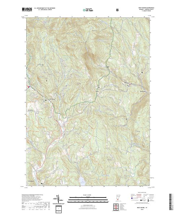
2024 Map of West Dover
USGS Topo · Published 2024About this map
West Dover and the surrounding townships of Windham County are defined by a network of steep hills and narrow brook valleys, where early settlement patterns are still visible through numerous family and village cemeteries. Large tracts of the Green Mountain National Forest occupy the western highlands, while the southern reaches of the map are anchored by the waters of Lake Raponda. The landscape is etched with historical family names on features like Johnson Hill and Cooper Hill, alongside small hamlets such as Goose City and East Dover. Local transportation and recreation are centered around the North Branch Deerfield River and the Deerfield Valley Regional Airport. The distribution of burial sites, including the Timson Moore Cem and Hathaway Cem, provides a detailed geographic record of the families who established these mountain communities.
Find a feature on this map
126 named features on this map. Tap any name to fly to it.
Don’t see what you’re looking for? This feature index may not catch every label — zoom into the map to look around manually.
Map Details
Editions of this 2024 West Dover Map
This is the sole edition of this map. No revisions or reprints were ever made.
Other maps of this area

1889 · Wilmington
USGS Topo · 1:62,500

1891 · Wilmington
USGS Topo · 1:62,500

1891 · Brattleboro
USGS Topo · 1:62,500

1893 · Brattleboro
USGS Topo · 1:62,500

1894 · Londonderry
USGS Topo · 1:62,500

1899 · Londonderry
USGS Topo · 1:62,500

1899 · Wilmington
USGS Topo · 1:62,500

1930 · Saxtons River
USGS Topo · 1:48,000

1932 · Brattleboro
USGS Topo · 1:48,000

1933 · Saxtons River
USGS Topo · 1:62,500