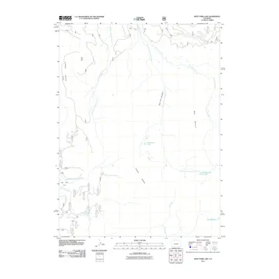
2011 Map of West Fork Lake
USGS Topo · Published 2011About this map
The Sierra Madre range dominates this high-altitude landscape in Routt County, where the Continental Divide separates the headwaters of major river systems. In the northern section, the Encampment River and its tributary, the West Fork Encampment River, carve through the terrain near the West Fork Meadows. The presence of the Peak 9731 Mine suggests historic prospecting and extraction efforts in this mountain environment.
Find a feature on this map
16 named features on this map. Tap any name to fly to it.
Don’t see what you’re looking for? This feature index may not catch every label — zoom into the map to look around manually.
Map Details
Editions of this 2011 West Fork Lake Map
This is the sole edition of this map. No revisions or reprints were ever made.
Other maps of this area

1911 · Hahns Peak
USGS Topo · 1:125,000

1913 · Hahns Peak
USGS Topo · 1:125,000

1939 · Saratoga
USGS Topo · 1:125,000

1954 · Rawlins
USGS Topo · 1:250,000

1954 · Craig
USGS Topo · 1:250,000

1955 · Davis Peak
USGS Topo · 1:24,000

1955 · Mount Zirkel
USGS Topo · 1:24,000

1956 · Pearl
USGS Topo · 1:62,500

1957 · Craig
USGS Topo · 1:250,000

1958 · Rawlins
USGS Topo · 1:250,000