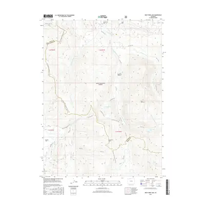
2016 Map of West Fork Lake
USGS Topo · Published 2016About this map
The Continental Divide forms a serpentine boundary across this high-elevation landscape, where the Routt National Forest straddles the border of Routt and Jackson Counties. This survey of the Sierra Madre range highlights a dense network of high-country trails and waterways, including the headwaters of the Encampment River and its western fork. The presence of remote mountain basins like West Fork Meadows, Big Red Park, and Ryan Park suggests a history of seasonal grazing and timber access, supported by an extensive system of tracks such as the Manzanares Trail and the Whiskey Creek Trail.
Find a feature on this map
31 named features on this map. Tap any name to fly to it.
Don’t see what you’re looking for? This feature index may not catch every label — zoom into the map to look around manually.
Map Details
Editions of this 2016 West Fork Lake Map
This is the sole edition of this map. No revisions or reprints were ever made.
Other maps of this area

1911 · Hahns Peak
USGS Topo · 1:125,000

1913 · Hahns Peak
USGS Topo · 1:125,000

1939 · Saratoga
USGS Topo · 1:125,000

1954 · Rawlins
USGS Topo · 1:250,000

1954 · Craig
USGS Topo · 1:250,000

1955 · Davis Peak
USGS Topo · 1:24,000

1955 · Mount Zirkel
USGS Topo · 1:24,000

1956 · Pearl
USGS Topo · 1:62,500

1957 · Craig
USGS Topo · 1:250,000

1958 · Rawlins
USGS Topo · 1:250,000