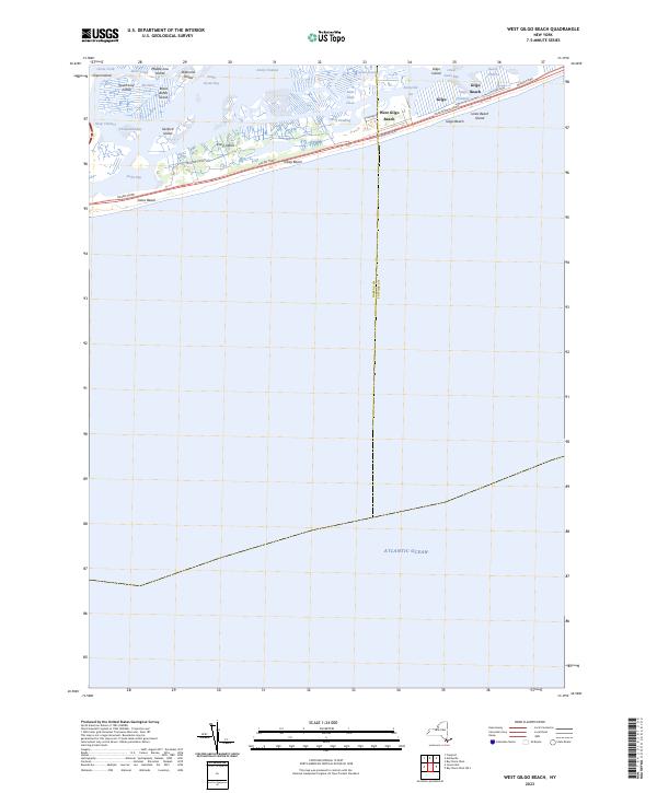
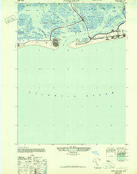
2023 Map of West Gilgo Beach
USGS Topo · Published 2023About this map
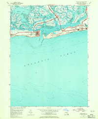
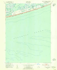
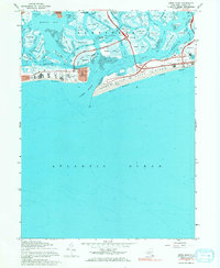
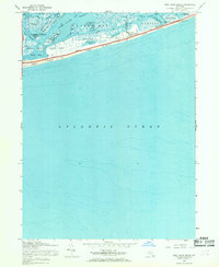
Jones Beach Island serves as a critical barrier between the open Atlantic Ocean and the intricate marshlands of South Oyster Bay. This 2023 survey documents the shoreline communities of West Gilgo Beach, Gilgo Beach, and the smaller settlement of Gilgo, all linked by the linear corridor of the Ocean Pkwy. The landscape is a complex network of tidal channels and small islands, including Middle Line Island, Sanford Island, and the Black Banks Island.
Find a feature on this map
36 named features on this map. Tap any name to fly to it.
Don’t see what you’re looking for? This feature index may not catch every label — zoom into the map to look around manually.
Map Details
Editions of this 2023 West Gilgo Beach Map
This is the sole edition of this map. No revisions or reprints were ever made.
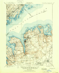
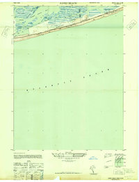
Historical Maps of Oyster Bay Through Time
15 maps found

1897 Hempstead
Nassau County, NY

1897 Oyster Bay
Nassau County, NY

1898 Hempstead
Nassau County, NY

1898 Oyster Bay
Nassau County, NY

1899 Hempstead
Nassau County, NY
1900 Oyster Bay
Nassau County, NY
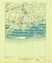
1903 Hempstead
Nassau County, NY
1947 Jones Beach
Nassau County, NY
1947 Jones Inlet
Nassau County, NY
1954 Jones Inlet
Nassau County, NY
1954 West Gilgo Beach
Nassau County, NY
1967 Jones Inlet
Nassau County, NY
1967 West Gilgo Beach
Nassau County, NY

2023 Jones Inlet
Nassau County, NY
2023 West Gilgo Beach
Nassau County, NY