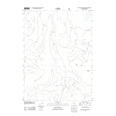
2012 Map of West Haight Mountain
USGS Topo · Published 2012About this map
Granada Ranch sits within a landscape defined by seasonal drainages and high ridges in the southern Cascades. The terrain is marked by the presence of numerous water sources such as Rose Spring, Double Spring, and Onion Spring, which feed into the central drainage of Butte Cr. To the east, the elevation climbs toward West Haight Mountain and the high point of Ulcer Point, separated by the Alder Creek Divide. A complex network of Forest Service routes, including Deer Mountain Rd and Usfs 43 n11, provides the primary access through these timbered highlands. The map reveals a transition from the lower creek beds of Pomeroy Cr to the more dramatic relief of Blue Canyon, illustrating the varied topography used for ranching and forest management in this part of Siskiyou County.
Find a feature on this map
57 named features on this map. Tap any name to fly to it.
Don’t see what you’re looking for? This feature index may not catch every label — zoom into the map to look around manually.
Map Details
Editions of this 2012 West Haight Mountain Map
This is the sole edition of this map. No revisions or reprints were ever made.
Other maps of this area

1886 · Modoc Lava Bed
USGS Topo · 1:250,000

1886 · Shasta
USGS Topo · 1:250,000

1892 · Modoc Lava-Bed
USGS Topo · 1:250,000

1894 · Shasta
USGS Topo · 1:250,000

1932 · Bartle
USGS Topo · 1:96,000

1934 · Macdoel
USGS Topo · 1:96,000

1935 · Dunsmuir
USGS Topo · 1:125,000

1939 · Bartle
USGS Topo · 1:125,000

1941 · Macdoel
USGS Topo · 1:125,000

1948 · Weed
USGS Topo · 1:250,000