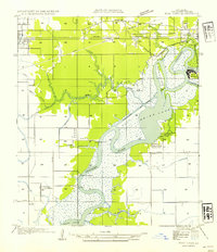
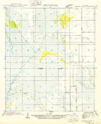
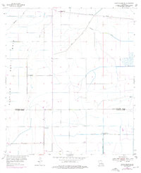
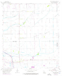
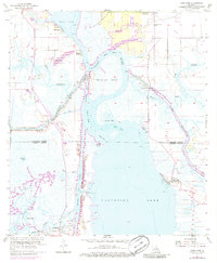
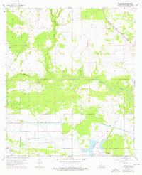
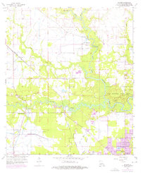
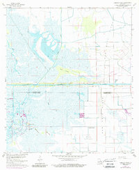
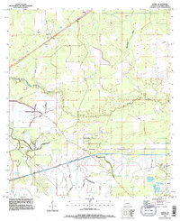
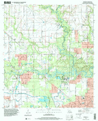
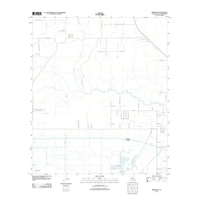
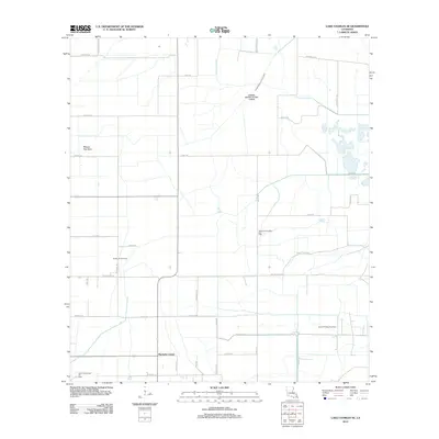
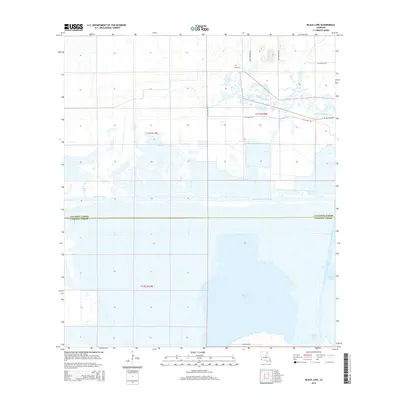
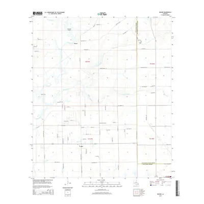
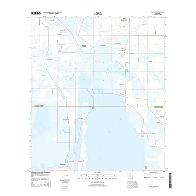
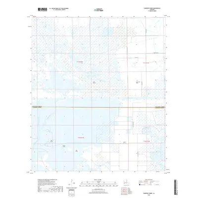
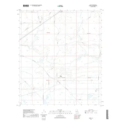
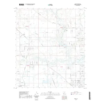
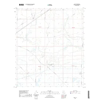
1954 Map of West Lake
USGS Topo · Published 1954About this map
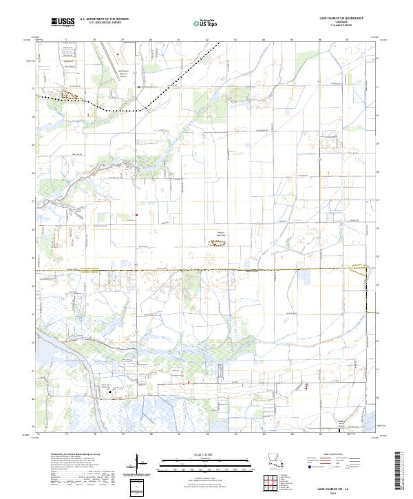
The Calcasieu River winds through this coastal marshland, serving as a primary corridor for the industrial and recreational life of Calcasieu Parish in the mid-1950s. The presence of the Port of Lake Charles and the Lake Charles Ship Canal underscores the area's importance to maritime trade, while the northern rail lines of the Southern Pacific No 90 and Kansas City Southern connect the settlements of Sulphur, Mossville, and West Lake.
Find a feature on this map
31 named features on this map. Tap any name to fly to it.
Don’t see what you’re looking for? This feature index may not catch every label — zoom into the map to look around manually.
Map Details
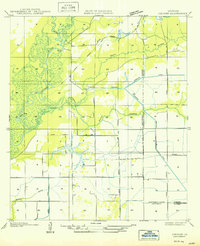
Editions of this 1954 West Lake Map
This is the sole edition of this map. No revisions or reprints were ever made.
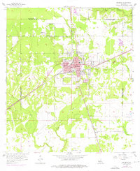
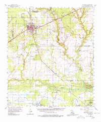
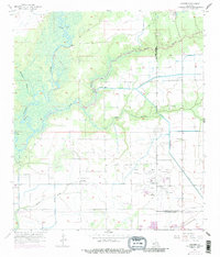
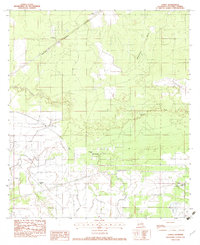
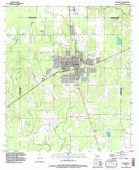
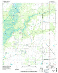
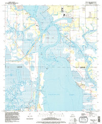
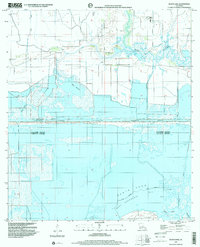
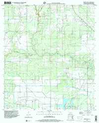
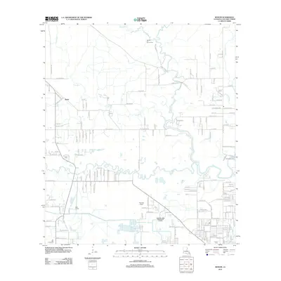
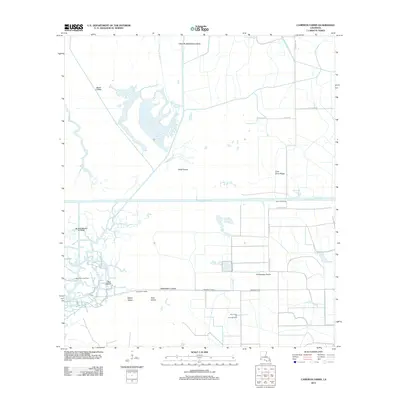
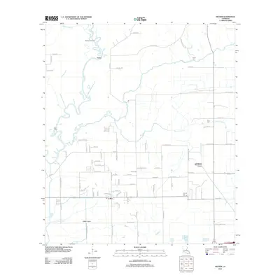
Historical Maps of Lake Charles Through Time
82 maps found

1932 Lake Charles NE
Calcasieu Parish, LA

1932 Lake Charles NW
Calcasieu Parish, LA

1932 Lake Charles SE
Calcasieu Parish, LA

1932 Lake Charles SW
Calcasieu Parish, LA

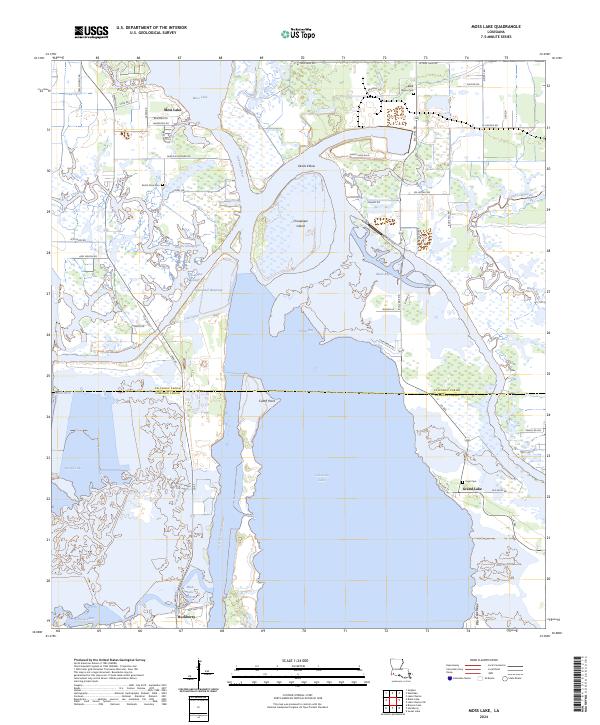
1932 Moss Lake
Calcasieu Parish, LA

1935 Buhler
Calcasieu Parish, LA

1946 Moss Lake
Calcasieu Parish, LA

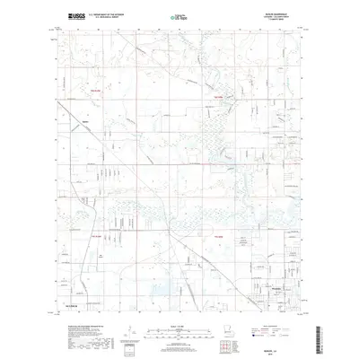
1947 Hecker
Calcasieu Parish, LA
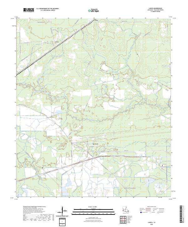
1947 Lunita
Calcasieu Parish, LA

1947 Sulphur Mines
Calcasieu Parish, LA
1947 Toomey
Calcasieu Parish, LA

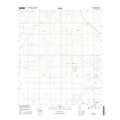
1947 West Lake
Calcasieu Parish, LA
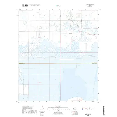
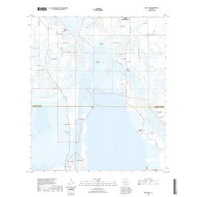
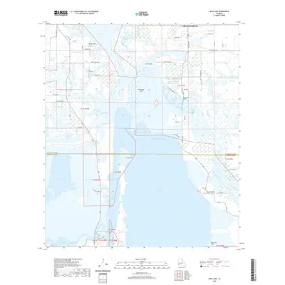
1949 Black Lake
Calcasieu Parish, LA
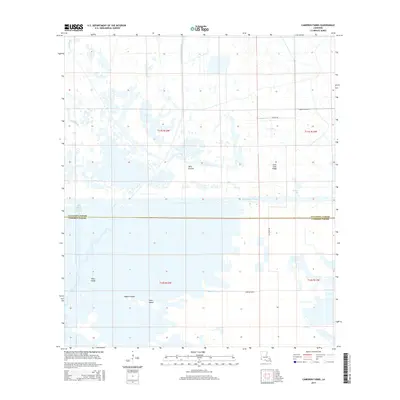
1949 Cameron Farms
Calcasieu Parish, LA
1950 Hecker
Calcasieu Parish, LA
1954 Toomey
Calcasieu Parish, LA
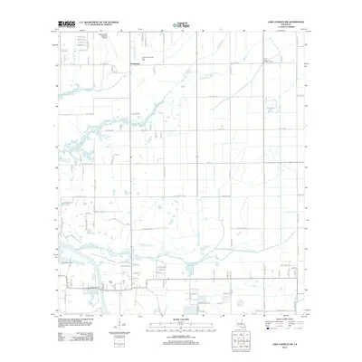
1954 West Lake
Calcasieu Parish, LA
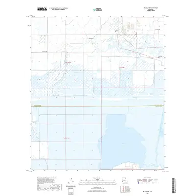
1955 Black Lake
Calcasieu Parish, LA
1955 Lake Charles SE
Calcasieu Parish, LA
1955 Lake Charles SW
Calcasieu Parish, LA
1955 Moss Lake
Calcasieu Parish, LA
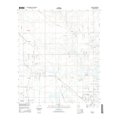
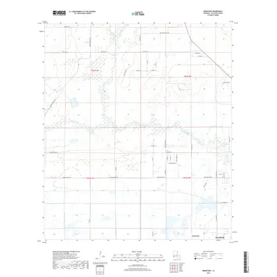
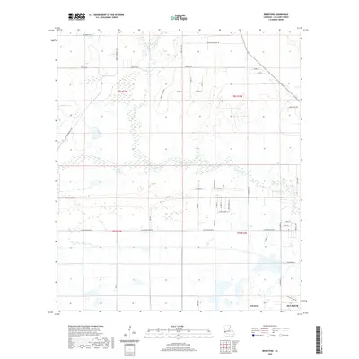
1956 Brimstone
Calcasieu Parish, LA
1956 Buhler
Calcasieu Parish, LA
1956 De Quincy
Calcasieu Parish, LA
1956 De Quincy
Calcasieu Parish, LA
1956 Hecker
Calcasieu Parish, LA
1960 Cameron Farms
Calcasieu Parish, LA
1982 Lunita
Calcasieu Parish, LA
1994 De Quincy
Calcasieu Parish, LA
1994 Hecker
Calcasieu Parish, LA
1994 Lunita
Calcasieu Parish, LA
1994 Moss Lake
Calcasieu Parish, LA
1998 Black Lake
Calcasieu Parish, LA
1998 Brimstone
Calcasieu Parish, LA
1998 Buhler
Calcasieu Parish, LA
1998 Lake Charles SE
Calcasieu Parish, LA
1998 Lake Charles SW
Calcasieu Parish, LA
2012 Black Lake
Calcasieu Parish, LA
2012 Brimstone
Calcasieu Parish, LA
2012 Buhler
Calcasieu Parish, LA
2012 Cameron Farms
Calcasieu Parish, LA
2012 Hecker
Calcasieu Parish, LA
2012 Lake Charles SE
Calcasieu Parish, LA
2012 Lake Charles SW
Calcasieu Parish, LA
2012 Lunita
Calcasieu Parish, LA
2012 Moss Lake
Calcasieu Parish, LA
2015 Black Lake
Calcasieu Parish, LA
2015 Brimstone
Calcasieu Parish, LA
2015 Buhler
Calcasieu Parish, LA
2015 Cameron Farms
Calcasieu Parish, LA
2015 Hecker
Calcasieu Parish, LA
2015 Lake Charles SE
Calcasieu Parish, LA
2015 Lake Charles SW
Calcasieu Parish, LA
2015 Lunita
Calcasieu Parish, LA
2015 Moss Lake
Calcasieu Parish, LA
2018 Black Lake
Calcasieu Parish, LA
2018 Brimstone
Calcasieu Parish, LA
2018 Buhler
Calcasieu Parish, LA
2018 Cameron Farms
Calcasieu Parish, LA
2018 Hecker
Calcasieu Parish, LA
2018 Lake Charles SE
Calcasieu Parish, LA
2018 Lake Charles SW
Calcasieu Parish, LA
2018 Lunita
Calcasieu Parish, LA
2018 Moss Lake
Calcasieu Parish, LA
2020 Black Lake
Calcasieu Parish, LA
2020 Brimstone
Calcasieu Parish, LA
2020 Buhler
Calcasieu Parish, LA
2020 Cameron Farms
Calcasieu Parish, LA

2020 Hecker
Calcasieu Parish, LA
2020 Lake Charles SE
Calcasieu Parish, LA
2020 Lake Charles SW
Calcasieu Parish, LA
2020 Lunita
Calcasieu Parish, LA
2020 Moss Lake
Calcasieu Parish, LA
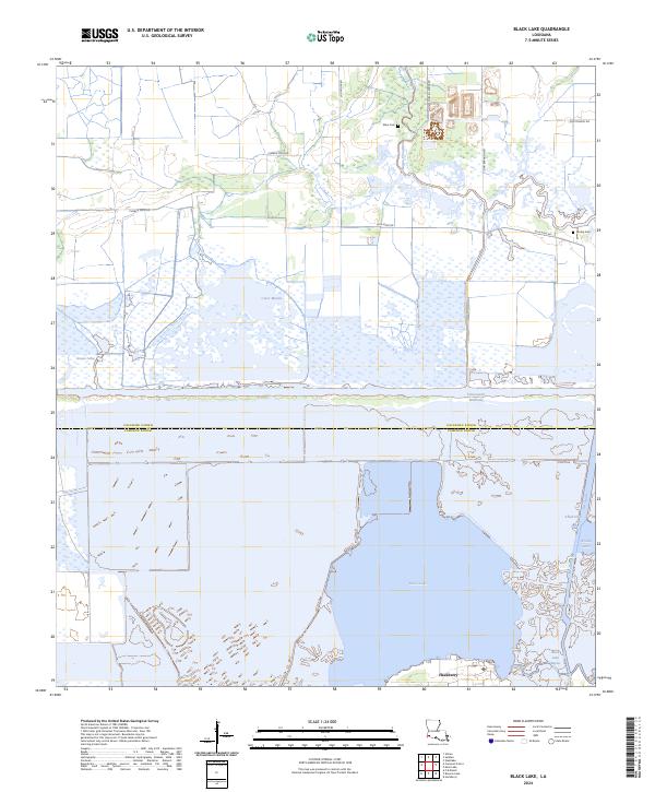
2024 Black Lake
Calcasieu Parish, LA
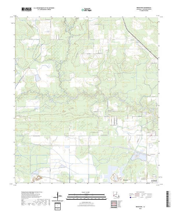
2024 Brimstone
Calcasieu Parish, LA
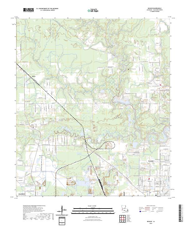
2024 Buhler
Calcasieu Parish, LA
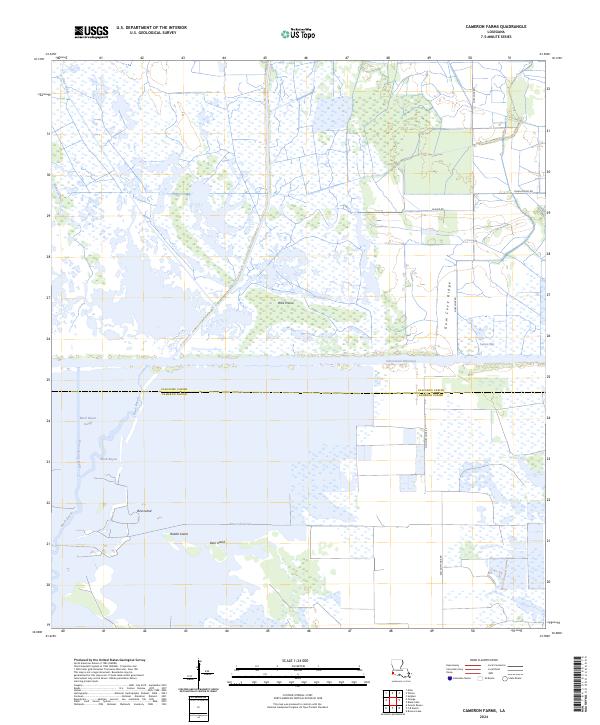
2024 Cameron Farms
Calcasieu Parish, LA
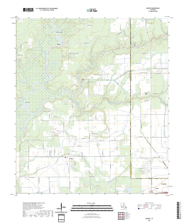
2024 Hecker
Calcasieu Parish, LA
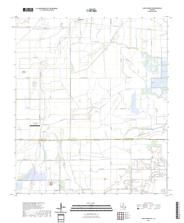
2024 Lake Charles SE
Calcasieu Parish, LA
2024 Lake Charles SW
Calcasieu Parish, LA
2024 Lunita
Calcasieu Parish, LA
2024 Moss Lake
Calcasieu Parish, LA