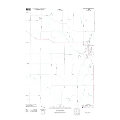
2013 Map of West Liberty
USGS Topo · Published 2013About this map
West Liberty serves as the primary hub of this eastern Iowa landscape, situated at a significant crossroads of local thoroughfares including W Prairie St and S Walnut St. The area's complex hydrology is a defining characteristic, dominated by the branching system of Wapsinonoc Creek, including the West Branch and Middle Branch. This network of waterways suggests a fertile agricultural environment long supported by natural and man-made drainage systems. To the northwest lies the smaller settlement of Downey, connected by a grid of rural roads like Cedar Muscatine Rd and Baker Ave. The southern portion of the quadrangle is marked by low-lying terrain, specifically the Big Slough, where engineered water management is evident in features such as Goshen Ditch and Wales Ditch, reflecting the region's intensive land use for farming in the early 21st century.
Find a feature on this map
79 named features on this map. Tap any name to fly to it.
Don’t see what you’re looking for? This feature index may not catch every label — zoom into the map to look around manually.
Map Details
Editions of this 2013 West Liberty Map
This is the sole edition of this map. No revisions or reprints were ever made.
Other maps of this area

1891 · Wilton Junction
USGS Topo · 1:62,500

1894 · West Liberty
USGS Topo · 1:62,500

1901 · Stanwood
USGS Topo · 1:125,000

1948 · Muscatine
USGS Topo · 1:62,500

1958 · Davenport
USGS Topo · 1:250,000

1961 · Davenport
USGS Topo · 1:250,000

1962 · Davenport
USGS Topo · 1:250,000
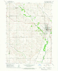
1965 · West Liberty
USGS Topo · 1:24,000
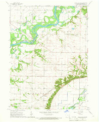
1965 · Muscatine NW
USGS Topo · 1:24,000
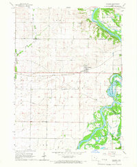
1965 · Atalissa
USGS Topo · 1:24,000