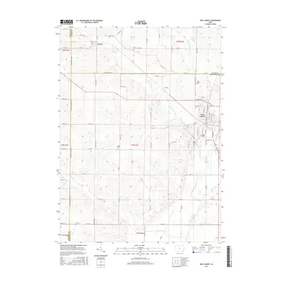
2015 Map of West Liberty
USGS Topo · Published 2015About this map
West Liberty serves as the primary population center in this eastern Iowa landscape, situated at the intersection of Muscatine, Cedar, and Johnson counties. The surrounding terrain is defined by the branching waters of Wapsinonoc Creek, including the W Br Wapsinonoc Cr and Middle Br Wapsinonoc Cr. These waterways, along with drainage features like Wales Ditch and Goshen Ditch, illustrate a managed agricultural environment typical of the region.
Find a feature on this map
59 named features on this map. Tap any name to fly to it.
Don’t see what you’re looking for? This feature index may not catch every label — zoom into the map to look around manually.
Map Details
Editions of this 2015 West Liberty Map
This is the sole edition of this map. No revisions or reprints were ever made.
Other maps of this area

1891 · Wilton Junction
USGS Topo · 1:62,500

1894 · West Liberty
USGS Topo · 1:62,500

1901 · Stanwood
USGS Topo · 1:125,000

1948 · Muscatine
USGS Topo · 1:62,500

1958 · Davenport
USGS Topo · 1:250,000

1961 · Davenport
USGS Topo · 1:250,000

1962 · Davenport
USGS Topo · 1:250,000
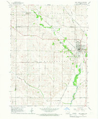
1965 · West Liberty
USGS Topo · 1:24,000
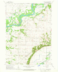
1965 · Muscatine NW
USGS Topo · 1:24,000
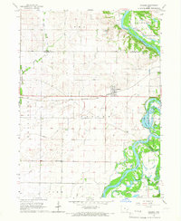
1965 · Atalissa
USGS Topo · 1:24,000