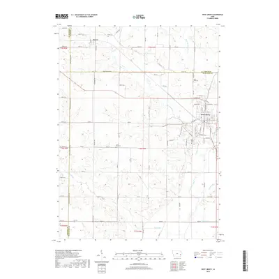
2018 Map of West Liberty
USGS Topo · Published 2018About this map
West Liberty sits at the intersection of several municipal boundaries, where the corners of Johnson, Cedar, and Muscatine counties meet in eastern Iowa. The area is defined by its agrarian grid and the winding course of Wapsinonoc Creek, which flows southward toward the Big Slough and engineered watercourses like Goshen Ditch and Wales Ditch. These drainage systems reveal the midwestern landscape’s transformation to support intensive cultivation.
Find a feature on this map
56 named features on this map. Tap any name to fly to it.
Don’t see what you’re looking for? This feature index may not catch every label — zoom into the map to look around manually.
Map Details
Editions of this 2018 West Liberty Map
This is the sole edition of this map. No revisions or reprints were ever made.
Other maps of this area

1891 · Wilton Junction
USGS Topo · 1:62,500

1894 · West Liberty
USGS Topo · 1:62,500

1901 · Stanwood
USGS Topo · 1:125,000

1948 · Muscatine
USGS Topo · 1:62,500

1958 · Davenport
USGS Topo · 1:250,000

1961 · Davenport
USGS Topo · 1:250,000

1962 · Davenport
USGS Topo · 1:250,000
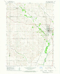
1965 · West Liberty
USGS Topo · 1:24,000
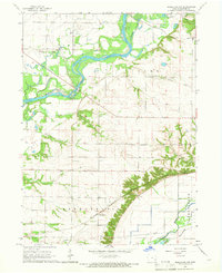
1965 · Muscatine NW
USGS Topo · 1:24,000
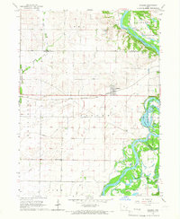
1965 · Atalissa
USGS Topo · 1:24,000