
1949 Map of West Lubec
USGS Topo · Published 1967About this map
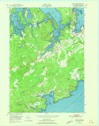
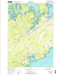
The intricate coastal anatomy of Washington County is documented here at the midpoint of the twentieth century, focusing on the peninsula and island systems between Straight Bay and the Grand Manan Channel. The landscape is defined by the narrow necks of land, such as Denbow Neck and Seward Neck, which frame sheltered waters like Federal Harbor and South Bay. This era shows a rural maritime economy transitioning, with the Lubec Airport established on the high ground of Lubec and small community centers like West Lubec serving the interior roads. Local educational and spiritual life is anchored by the Wilcox Sch and the Baptist Ch. Extensive mudflats and rocky ledges, including Baileys Ledge and the curiously named Baileys Mistake, highlight the navigational complexity that has long shaped this corner of Maine.
Find a feature on this map
68 named features on this map. Tap any name to fly to it.
Don’t see what you’re looking for? This feature index may not catch every label — zoom into the map to look around manually.
Map Details
Editions of this 1949 West Lubec Map
3 editions found
Other maps of this area

1907 · Eastport
USGS Topo · 1:48,000

1908 · Eastport
USGS Topo · 1:62,500

1917 · Cutler
USGS Topo · 1:62,500

1918 · Cutler
USGS Topo · 1:62,500

1943 · Eastport
USGS Topo · 1:62,500

1945 · Eastport
USGS Topo · 1:62,500

1949 · Whiting
USGS Topo · 1:24,000

1949 · Pembroke
USGS Topo · 1:24,000

1949 · Eastport
USGS Topo · 1:24,000
1949 · Moose River
USGS Topo · 1:24,000