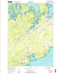
1949 Map of West Lubec
USGS Topo · Published 1991About this map
Federal Harbor and the Grand Manan Channel define this coastal landscape on the Maine-New Brunswick border, where the rocky shoreline is carved into numerous points and necks. The map documents the mid-century settlement patterns of Lubec and Trescott, centered around rural hubs like West Lubec and North Lubec. Inland, the terrain is a mix of high ground like No 9 Hill and expansive wetlands labeled simply as Heath, reflecting the area's peatland geography.
Find a feature on this map
68 named features on this map. Tap any name to fly to it.
Don’t see what you’re looking for? This feature index may not catch every label — zoom into the map to look around manually.
Map Details
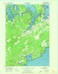
Editions of this 1949 West Lubec Map
3 editions found
Other maps of this area

1907 · Eastport
USGS Topo · 1:48,000

1908 · Eastport
USGS Topo · 1:62,500

1917 · Cutler
USGS Topo · 1:62,500

1918 · Cutler
USGS Topo · 1:62,500

1943 · Eastport
USGS Topo · 1:62,500

1945 · Eastport
USGS Topo · 1:62,500

1949 · Whiting
USGS Topo · 1:24,000

1949 · Pembroke
USGS Topo · 1:24,000

1949 · Eastport
USGS Topo · 1:24,000

1949 · West Lubec
USGS Topo · 1:24,000