Loading...
Loading map...2022 Map of West
USGS Topo · Published 2022About this map
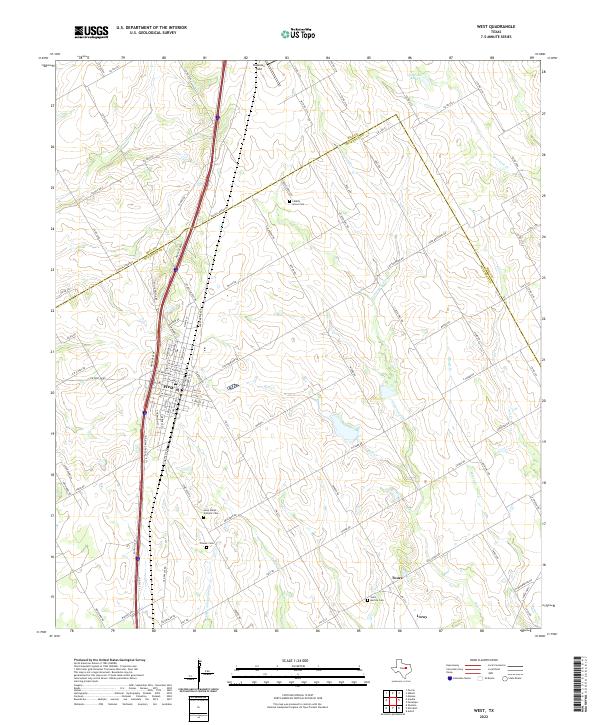
The city of West sits at the heart of this survey, positioned along a major transit corridor defined by I-35 SVC RD and Heritage Pkwy. The landscape is a network of agricultural land dissected by numerous waterways including Cottonwood Cr, Rice Cr, and Elm Cr. To the south, the smaller settlement of Leroy appears near the bank of Little Tehuacana Cr.
Find a feature on this map
108 named features on this map. Tap any name to fly to it.
Don’t see what you’re looking for? This feature index may not catch every label — zoom into the map to look around manually.
Map Details
Date Portrayed2022
Date Published2022
PublisherU.S. Geological Survey
Map TypeTopographic
Scale1:24000
Physical Dimensions24 x 29 inches
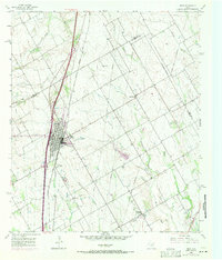
Editions of this 2022 West Map
This is the sole edition of this map. No revisions or reprints were ever made.
Historical Maps of Tours Through Time
Featured Locations
Source Details
SourceU.S. Geological Survey
CopyrightPublic Domain