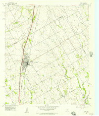
1956 Map of West
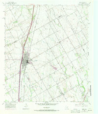
USGS Topo · Published 1971About this map
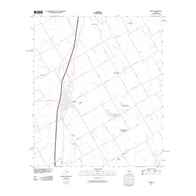
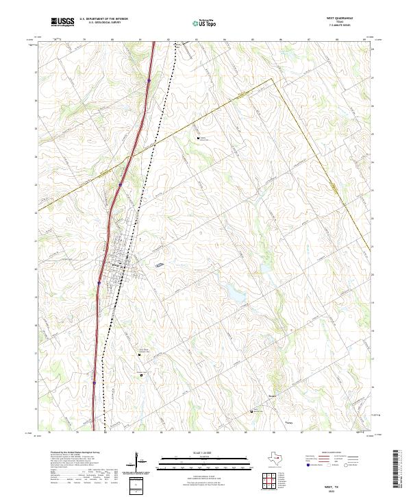
The Missouri Kansas Texas Line anchors the commercial development of West in this mid-century survey, which details the town’s growth just as the interstate era began to reshape central Texas. The map highlights a community deeply rooted in its agricultural and local institutions, featuring the Rodeo Stadium and National Cem on the town's periphery. Beyond the main settlement, the landscape transitions into rolling prairie drained by Alligator Creek and Little Tehuacana Creek. To the southeast, the small community of Tours is anchored by St Martins Sch and St Martins Cem, while St Peters Ch stands alone further west. This document preserves the locations of several Caliche Pits and the Airway Beacon, reflecting the practical infrastructure of the 1950s that supported local road building and early aviation navigation across the Hill Co McLennan Co border.
Find a feature on this map
25 named features on this map. Tap any name to fly to it.
Don’t see what you’re looking for? This feature index may not catch every label — zoom into the map to look around manually.
Map Details
Editions of this 1956 West Map
2 editions found
Historical Maps of West Through Time
6 maps found