
1956 Map of West
USGS Topo · Published 1957About this map
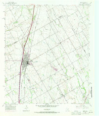
The city of West serves as the primary hub on this mid-century survey, positioned along the vital transportation corridor of the Missouri Kansas Texas Line and the Blue Star Memorial Highway. The landscape is a mix of agricultural productivity and community infrastructure, featuring specialized landmarks such as a Rodeo Stadium, an Athletic Field, and a Drive-in Theater just outside the town center. The rural surroundings are dotted with small Caliche Pit operations, indicating the local geology and its role in road construction and industry during the 1950s.
Find a feature on this map
28 named features on this map. Tap any name to fly to it.
Don’t see what you’re looking for? This feature index may not catch every label — zoom into the map to look around manually.
Map Details
Editions of this 1956 West Map
2 editions found
Other maps of this area

1892 · Waco
USGS Topo · 1:125,000

1920 · Waco
USGS Topo · 1:125,000

1920 · Mart
USGS Topo · 1:62,500

1931 · Elm Mott
USGS Topo · 1:62,500

1954 · Waco
USGS Topo · 1:250,000

1955 · Waco
USGS Topo · 1:250,000

1956 · Penelope
USGS Topo · 1:24,000

1956 · Axtell
USGS Topo · 1:24,000

1956 · Abbott
USGS Topo · 1:24,000
1957 · Aquilla
USGS Topo · 1:24,000