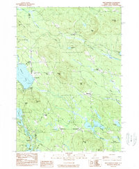
1983 Map of West Newfield
USGS Topo · Published 1983About this map
The boundary between Maine and New Hampshire serves as the primary axis for this 1983 survey, defined by a series of precise monuments such as State Bdy Mon #17 and State Bdy Mon #14. The landscape is a network of small upland settlements and water bodies, centered on the village of West Newfield and the neighboring hills of Parsonsfield. The area's mid-century character is evident in the transition from agricultural crossroads like Mee Corners and Roberts Corner to seasonal recreation hubs near Province Lake and Rock Haven Lake.
Find a feature on this map
59 named features on this map. Tap any name to fly to it.
Don’t see what you’re looking for? This feature index may not catch every label — zoom into the map to look around manually.
Map Details
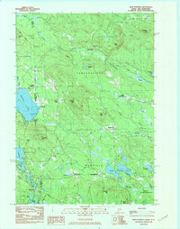
Editions of this 1983 West Newfield Map
2 editions found
Other maps of this area

1891 · Newfield
USGS Topo · 1:62,500

1893 · Newfield
USGS Topo · 1:62,500

1910 · Kezar Falls
USGS Topo · 1:48,000

1911 · Kezar Falls
USGS Topo · 1:62,500

1928 · Wolfeboro
USGS Topo · 1:62,500

1930 · Ossipee Lake
USGS Topo · 1:62,500

1933 · Newfield
USGS Topo · 1:48,000

1937 · Newfield
USGS Topo · 1:62,500

1942 · Newfield
USGS Topo · 1:62,500

1944 · Newfield
USGS Topo · 1:62,500