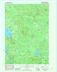
1983 Map of West Newfield
USGS Topo · Published 1983About this map
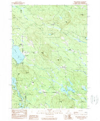
West Newfield and the surrounding borderlands of York County, Maine, and Carroll County, New Hampshire, appear here in the early 1980s. The landscape is defined by its small settlements and distinct topographic rises, such as Dearborn Mtn and Wiggin Mtn, which overlook a network of glaciated lakes and ponds. At the southern end of the sheet, Rock Haven Lake and the Newfield Wildlife Management Area represent significant natural and recreational tracts, while the Province Lake Country Club sits near the state line by Province Lake. Rural intersections like Mee Corners and Stevens Corner mark the historical crossroads of these upland townships. The survey highlights the transition between the developed clusters of Parsonsfield and the wooded, water-rich environment of the South River drainage, documenting the placement of numerous scattered Cem sites and public structures like the Town House.
Find a feature on this map
45 named features on this map. Tap any name to fly to it.
Don’t see what you’re looking for? This feature index may not catch every label — zoom into the map to look around manually.
Map Details
Editions of this 1983 West Newfield Map
2 editions found
Other maps of this area

1891 · Newfield
USGS Topo · 1:62,500

1893 · Newfield
USGS Topo · 1:62,500

1910 · Kezar Falls
USGS Topo · 1:48,000

1911 · Kezar Falls
USGS Topo · 1:62,500

1928 · Wolfeboro
USGS Topo · 1:62,500

1930 · Ossipee Lake
USGS Topo · 1:62,500

1933 · Newfield
USGS Topo · 1:48,000

1937 · Newfield
USGS Topo · 1:62,500

1942 · Newfield
USGS Topo · 1:62,500

1944 · Newfield
USGS Topo · 1:62,500