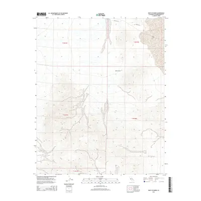
2015 Map of West of Baker
USGS Topo · Published 2015About this map
Silver Lake defines the northeastern reaches of this desert landscape, where the ephemeral waters of the Salt Cr drain into the arid basin. This 2015 survey of the Mojave Desert in San Bernardino County captures a region dominated by vast drainage systems and seasonal washes that carve through the high-elevation terrain. Human passage through this environment is traced by functional infrastructure, including Silver Lake Rd and Powerline Rd, which provide the primary access through these township boundaries. The map documents the stark geography of the eastern California desert before more recent environmental shifts, preserving the exact courses of desert washes and the extent of the dry lake beds as they existed in the mid-2010s.
Find a feature on this map
10 named features on this map. Tap any name to fly to it.
Don’t see what you’re looking for? This feature index may not catch every label — zoom into the map to look around manually.
Map Details
Editions of this 2015 West of Baker Map
This is the sole edition of this map. No revisions or reprints were ever made.
Other maps of this area

1933 · Avawatz Mountains
USGS Topo · 1:250,000

1947 · Trona
USGS Topo · 1:250,000

1948 · Red Pass Lake
USGS Topo · 1:62,500

1948 · Trona
USGS Topo · 1:250,000

1948 · Cave Mountain
USGS Topo · 1:62,500

1951 · Cave Mountain
USGS Topo · 1:62,500

1951 · Red Pass Lake
USGS Topo · 1:62,500

1953 · Trona
USGS Topo · 1:250,000
1956 · Soda Lake
USGS Topo · 1:62,500

1956 · Baker
USGS Topo · 1:62,500