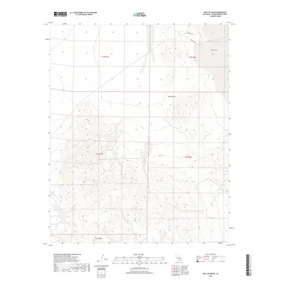
2018 Map of West of Baker
USGS Topo · Published 2018About this map
Silver Lake occupies the northeastern corner of this arid landscape, its dry bed characteristic of the drainage patterns found across this portion of the Mojave Desert. The terrain is defined by the ephemeral flow of Salt Creek, which descends through the complex topography of the southern and central sections before reaching the valley floor. Transportation across this portion of San Bernardino County is limited to utility and access routes like Silver Lake Rd and Powerline Rd, which skirt the northern edge of the hills. The map highlights the intersection of natural hydrology and infrastructure, showing where Salt Cr crosses the open flats near the old lake bed. This 2018 survey provides a clear view of the elevation changes between the rugged uplands and the surrounding basin floor.
Find a feature on this map
11 named features on this map. Tap any name to fly to it.
Don’t see what you’re looking for? This feature index may not catch every label — zoom into the map to look around manually.
Map Details
Editions of this 2018 West of Baker Map
This is the sole edition of this map. No revisions or reprints were ever made.
Other maps of this area

1933 · Avawatz Mountains
USGS Topo · 1:250,000

1947 · Trona
USGS Topo · 1:250,000

1948 · Red Pass Lake
USGS Topo · 1:62,500

1948 · Trona
USGS Topo · 1:250,000

1948 · Cave Mountain
USGS Topo · 1:62,500

1951 · Cave Mountain
USGS Topo · 1:62,500

1951 · Red Pass Lake
USGS Topo · 1:62,500

1953 · Trona
USGS Topo · 1:250,000
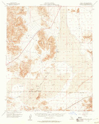
1956 · Soda Lake
USGS Topo · 1:62,500

1956 · Baker
USGS Topo · 1:62,500