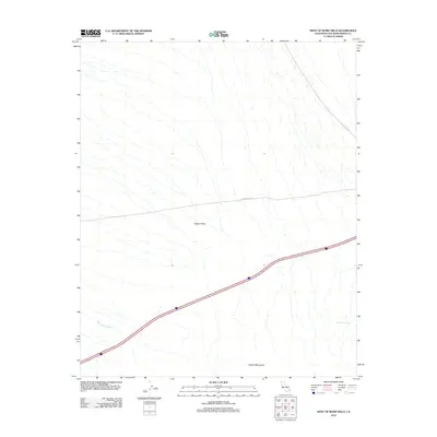
2012 Map of West of Blind Hills
USGS Topo · Published 2012About this map
Clipper Valley occupies the center of this Mojave Desert landscape, framed to the south by the rising slopes of the Clipper Mountains. This 2012 survey illustrates the sparse, arid character of northeastern San Bernardino County, where water is the primary geographic driver. Named features like Quail Spring Wash and Chuckwalla Spring indicate the crucial locations of desert water sources that have historically dictated movement through the basin. Human presence is defined by a handful of linear paths, including the diagonal track of Essex Rd and the east-west passage of Hidden Hills Rd, which cross the wide alluvial fans of the valley.
Find a feature on this map
6 named features on this map. Tap any name to fly to it.
Don’t see what you’re looking for? This feature index may not catch every label — zoom into the map to look around manually.
Map Details
Editions of this 2012 West of Blind Hills Map
This is the sole edition of this map. No revisions or reprints were ever made.
Other maps of this area

1942 · Amboy
USGS Topo · 1:250,000

1943 · Amboy
USGS Topo · 1:250,000

1943 · Danby
USGS Topo · 1:62,500

1954 · Needles
USGS Topo · 1:250,000

1956 · Needles
USGS Topo · 1:250,000

1956 · Colton Well
USGS Topo · 1:62,500

1956 · Cadiz
USGS Topo · 1:62,500

1956 · Danby
USGS Topo · 1:62,500

1956 · Flynn
USGS Topo · 1:62,500

1981 · Needles
USGS Topo · 1:250,000