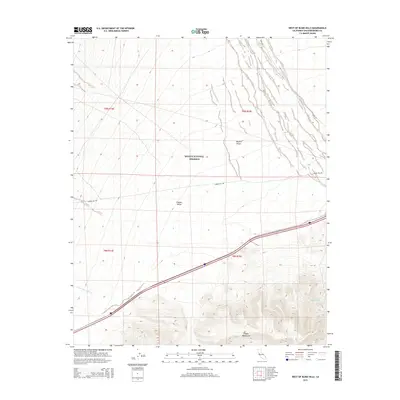
2015 Map of West of Blind Hills
USGS Topo · Published 2015About this map
Mojave National Preserve encompasses much of this arid landscape, where the shifting sands of the Mojave Desert give way to the prominent Clipper Mountains. This 2015 survey provides a modern look at the remote interior of San Bernardino County, where water sources like Chuckwalla Spring and the drainage of Quail Spring Wash are vital topographic markers. The map illustrates a region defined by its isolation and its role as a protected wilderness, bounded by the wide expanse of Clipper Valley.
Find a feature on this map
12 named features on this map. Tap any name to fly to it.
Don’t see what you’re looking for? This feature index may not catch every label — zoom into the map to look around manually.
Map Details
Editions of this 2015 West of Blind Hills Map
This is the sole edition of this map. No revisions or reprints were ever made.
Other maps of this area

1942 · Amboy
USGS Topo · 1:250,000

1943 · Amboy
USGS Topo · 1:250,000

1943 · Danby
USGS Topo · 1:62,500

1954 · Needles
USGS Topo · 1:250,000

1956 · Needles
USGS Topo · 1:250,000

1956 · Colton Well
USGS Topo · 1:62,500

1956 · Cadiz
USGS Topo · 1:62,500

1956 · Danby
USGS Topo · 1:62,500

1956 · Flynn
USGS Topo · 1:62,500

1981 · Needles
USGS Topo · 1:250,000