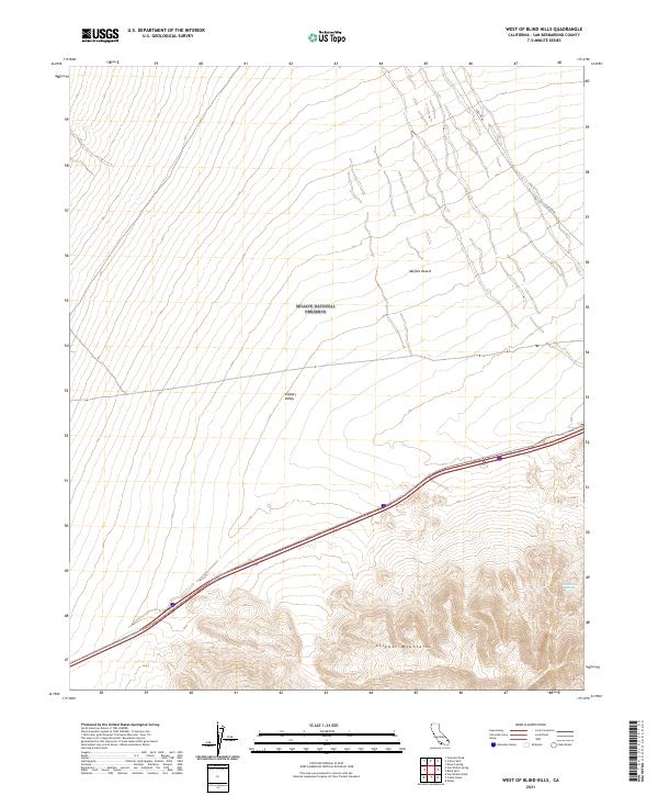
2021 Map of West of Blind Hills
USGS Topo · Published 2021About this map
The Mojave National Preserve covers the high-desert terrain of eastern California, where the northern slopes of the Clipper Mountains meet the expansive Clipper Valley. This region is defined by its arid landscape and geological features, including the Chuckwalla Spring nestled within the southern mountain range. The map illustrates a transition from the desert floor of the Mojave Desert into more complex topographical elevations, providing a detailed record of the natural landforms as they existed in the early 2020s.
Find a feature on this map
10 named features on this map. Tap any name to fly to it.
Don’t see what you’re looking for? This feature index may not catch every label — zoom into the map to look around manually.
Map Details
Editions of this 2021 West of Blind Hills Map
This is the sole edition of this map. No revisions or reprints were ever made.
Other maps of this area

1942 · Amboy
USGS Topo · 1:250,000

1943 · Amboy
USGS Topo · 1:250,000

1943 · Danby
USGS Topo · 1:62,500

1954 · Needles
USGS Topo · 1:250,000

1956 · Needles
USGS Topo · 1:250,000

1956 · Colton Well
USGS Topo · 1:62,500

1956 · Cadiz
USGS Topo · 1:62,500

1956 · Danby
USGS Topo · 1:62,500

1956 · Flynn
USGS Topo · 1:62,500

1981 · Needles
USGS Topo · 1:250,000