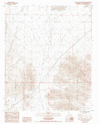
1985 Map of West of Broadwell Mesa
USGS Topo · Published 1993About this map
The Cady Mountains and Bristol Mountains dominate this high-desert landscape in San Bernardino County, where the topography is defined by the intersection of mountain ranges and alluvial basins. A notable piece of historical infrastructure is the Old RR Grade cutting through the terrain, indicating the remnants of former transport corridors that once served the region's mining and trade interests. In the northern reaches, the Mesquite Hills provide additional topographical complexity. Human activity is sparse but evident, marked by a lone Prospect in the northeast corner and a long Transmission Line that traverses the central valley. This map effectively captures a remote section of the Mojave Desert before modern infrastructure could significantly alter the relationship between these prominent mountain chains.
Find a feature on this map
9 named features on this map. Tap any name to fly to it.
Don’t see what you’re looking for? This feature index may not catch every label — zoom into the map to look around manually.
Map Details
Editions of this 1985 West of Broadwell Mesa Map
2 editions found
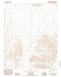
Other maps of this area

1933 · Avawatz Mountains
USGS Topo · 1:250,000

1947 · Trona
USGS Topo · 1:250,000

1948 · Trona
USGS Topo · 1:250,000

1948 · Cave Mountain
USGS Topo · 1:62,500

1951 · Cave Mountain
USGS Topo · 1:62,500

1953 · San Bernardino
USGS Topo · 1:250,000

1953 · Trona
USGS Topo · 1:250,000

1955 · Cady Mountains
USGS Topo · 1:62,500

1955 · Broadwell Lake
USGS Topo · 1:62,500

1956 · San Bernardino
USGS Topo · 1:250,000