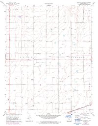
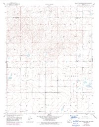
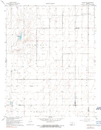
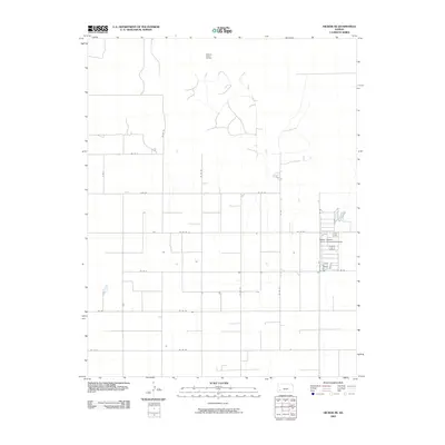
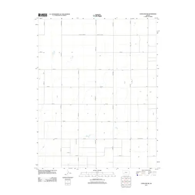
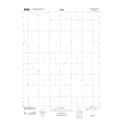
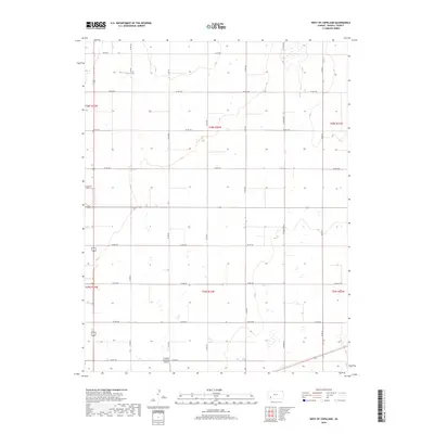
1960 Map of West of Copeland
USGS Topo · Published 1993About this map
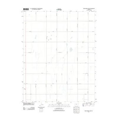
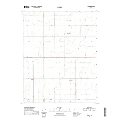
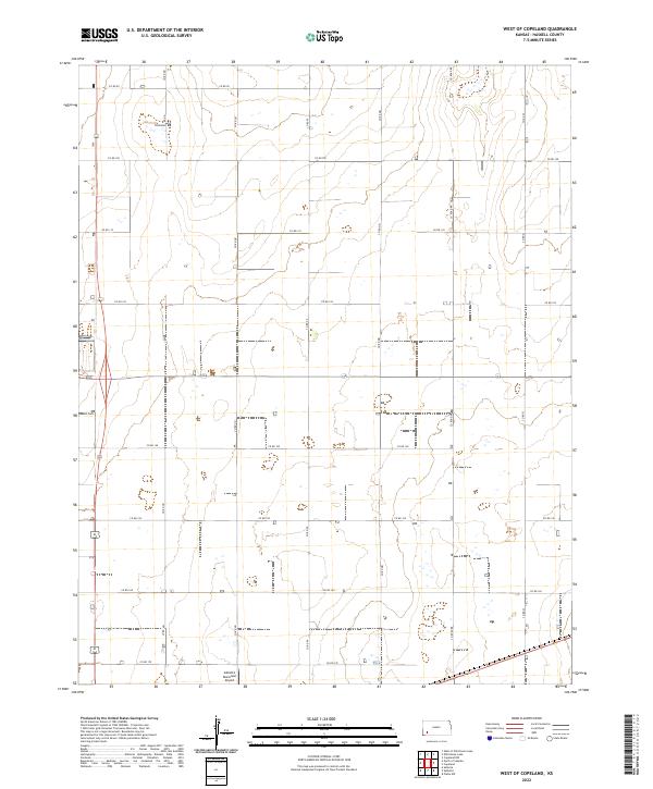
The High Plains of Haskell County are defined here by a sprawling infrastructure of energy extraction and agricultural transit as it appeared in the mid-20th century. Numerous Gas Wells and Oil Wells dot the landscape, particularly clustered in the northern townships. The southern boundary is dominated by the Atchison Topeka and Santa Fe railroad, a critical link for the region's grain and resource movement. For local historians and genealogists, the Haskell Cem stands as a focal point for early settlement history in the western part of the county. An interesting remnant of earlier irrigation or infrastructure efforts is the Abandoned Canal running through the center of the sheet, while an extensive network of Pipelines underscores the industrial shift toward natural gas production that reshaped this corner of Kansas.
Find a feature on this map
9 named features on this map. Tap any name to fly to it.
Don’t see what you’re looking for? This feature index may not catch every label — zoom into the map to look around manually.
Map Details
Editions of this 1960 West of Copeland Map
3 editions found
Historical Maps of Haskell County Through Time
54 maps found
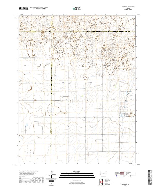
1959 Hickok NE
Haskell County, KS
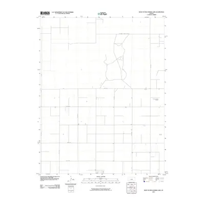
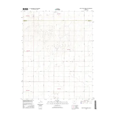
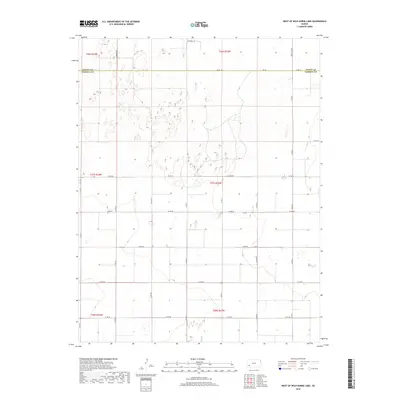
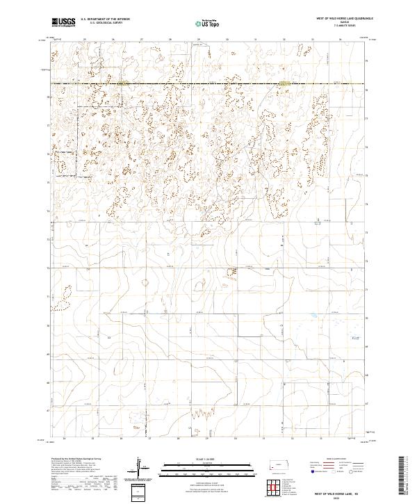
1959 West of Wild Horse Lake
Haskell County, KS
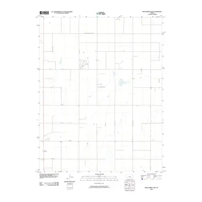
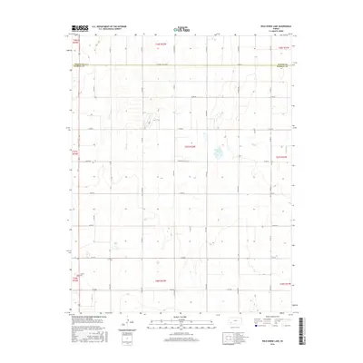
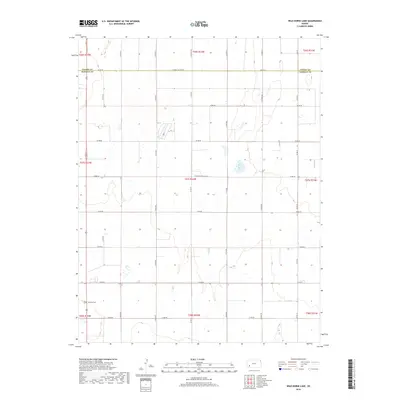
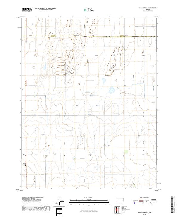
1959 Wild Horse Lake
Haskell County, KS
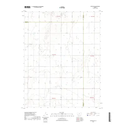
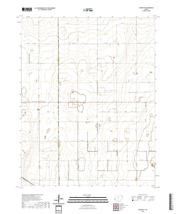
1960 Hickok SE
Haskell County, KS
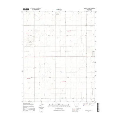
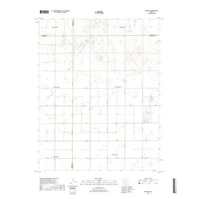
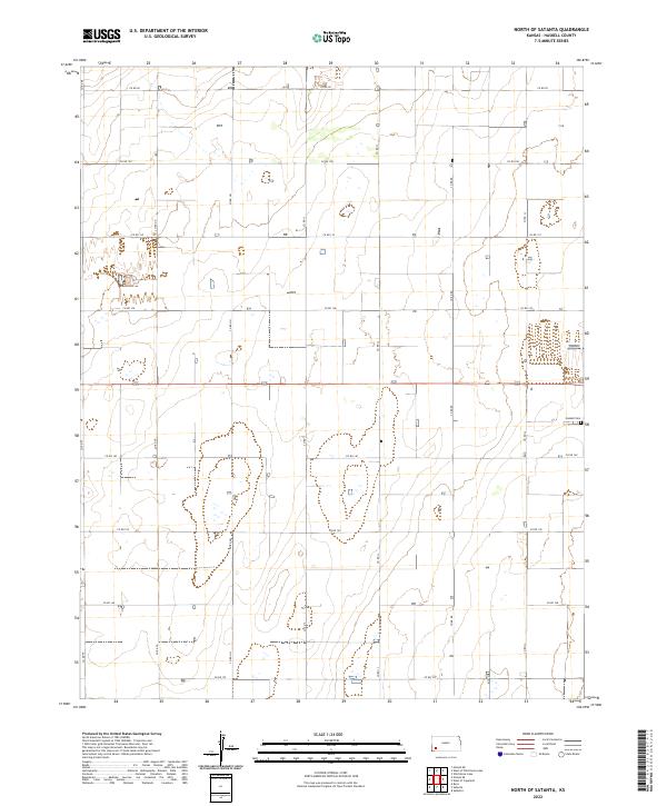
1960 North of Satanta
Haskell County, KS
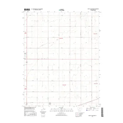
1960 West of Copeland
Haskell County, KS
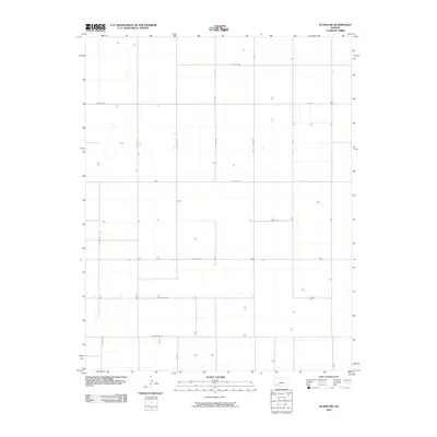
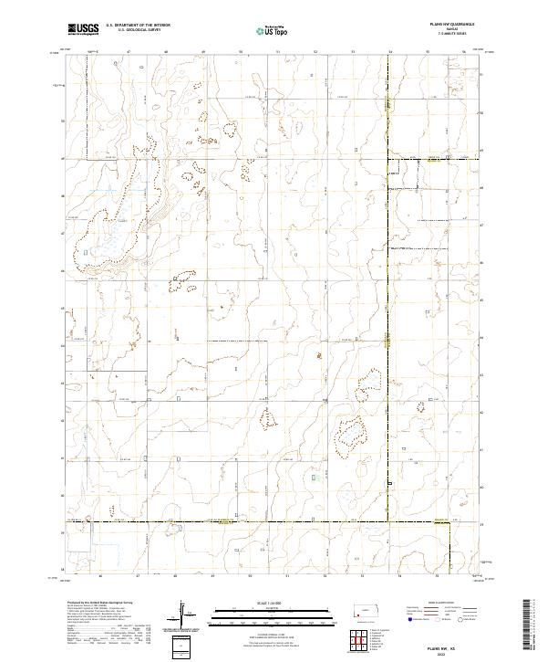
1968 Plains NW
Haskell County, KS
1969 Copeland NW
Haskell County, KS
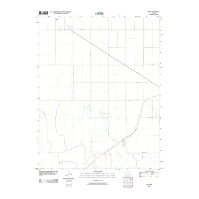
1975 Ryus
Haskell County, KS
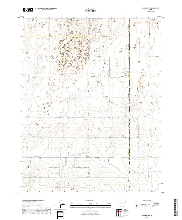
2009 Copeland NW
Haskell County, KS
2009 Hickok NE
Haskell County, KS
2009 Hickok SE
Haskell County, KS
2009 North of Satanta
Haskell County, KS
2009 West of Copeland
Haskell County, KS
2009 West of Wild Horse Lake
Haskell County, KS
2009 Wild Horse Lake
Haskell County, KS
2010 Plains NW
Haskell County, KS
2010 Ryus
Haskell County, KS
2012 Copeland NW
Haskell County, KS
2012 Hickok NE
Haskell County, KS
2012 Hickok SE
Haskell County, KS
2012 North of Satanta
Haskell County, KS
2012 Plains NW
Haskell County, KS
2012 Ryus
Haskell County, KS
2012 West of Copeland
Haskell County, KS
2012 West of Wild Horse Lake
Haskell County, KS
2012 Wild Horse Lake
Haskell County, KS
2015 Hickok NE
Haskell County, KS
2016 Copeland NW
Haskell County, KS
2016 Hickok SE
Haskell County, KS
2016 North of Satanta
Haskell County, KS
2016 Plains NW
Haskell County, KS
2016 Ryus
Haskell County, KS
2016 West of Copeland
Haskell County, KS
2016 West of Wild Horse Lake
Haskell County, KS
2016 Wild Horse Lake
Haskell County, KS
2018 Copeland NW
Haskell County, KS
2018 Hickok NE
Haskell County, KS
2018 Hickok SE
Haskell County, KS
2018 North of Satanta
Haskell County, KS
2018 Plains NW
Haskell County, KS
2018 Ryus
Haskell County, KS
2018 West of Copeland
Haskell County, KS
2018 West of Wild Horse Lake
Haskell County, KS
2018 Wild Horse Lake
Haskell County, KS
2022 Copeland NW
Haskell County, KS
2022 Hickok NE
Haskell County, KS
2022 Hickok SE
Haskell County, KS
2022 North of Satanta
Haskell County, KS
2022 Plains NW
Haskell County, KS
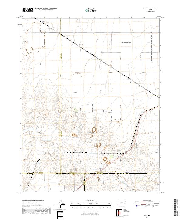
2022 Ryus
Haskell County, KS
2022 West of Copeland
Haskell County, KS
2022 West of Wild Horse Lake
Haskell County, KS
2022 Wild Horse Lake
Haskell County, KS