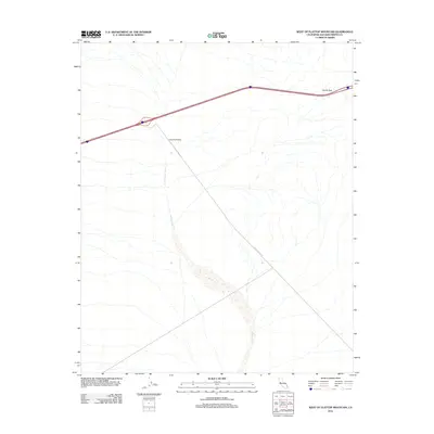
2012 Map of West of Flattop Mountain
USGS Topo · Published 2012About this map
Homer Wash dominates the arid drainage pattern of this San Bernardino County landscape, cutting a wide path southeast through the desert floor. The map highlights a critical transportation corridor where the interstate crosses South Pass, a natural gap in the terrain that has long served as a gateway for travelers moving through the Mojave region. Just south of the highway, the Camino Airstrip sits as a lonely landmark of aviation history in the high desert, while a long Utility Access Rd stretches across the alluvial fan, indicating the modern infrastructure required to support the region's energy and communication networks. The drainage of the wash itself is particularly distinct, showing the broad, braided character typical of ephemeral desert streams.
Find a feature on this map
4 named features on this map. Tap any name to fly to it.
Don’t see what you’re looking for? This feature index may not catch every label — zoom into the map to look around manually.
Map Details
Editions of this 2012 West of Flattop Mountain Map
This is the sole edition of this map. No revisions or reprints were ever made.
Other maps of this area

1942 · Amboy
USGS Topo · 1:250,000

1943 · Center Hills
USGS Topo · 1:62,500

1943 · Amboy
USGS Topo · 1:250,000

1943 · Essex
USGS Topo · 1:62,500

1943 · Fenner
USGS Topo · 1:62,500

1943 · Bannock
USGS Topo · 1:62,500

1954 · Needles
USGS Topo · 1:250,000

1956 · Needles
USGS Topo · 1:250,000

1956 · Fenner
USGS Topo · 1:62,500

1956 · Essex
USGS Topo · 1:62,500