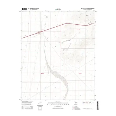
2015 Map of West of Flattop Mountain
USGS Topo · Published 2015About this map
Ward Valley dominates the western portion of this desert landscape, where the alluvial drainage of Homer Wash meanders toward the south. The topography is defined by the stark transition from the level basin floor to the steep eastern elevations of the Sacramento Mountains, which are breached by the South Pass. This modern survey illustrates the sparse infrastructure of the high desert, centered on the Camino Airstrip and a few specialized desert thoroughfares like Walter Rd and Water Rd. The map provides a clear look at the Mojave Desert environment, showing the relationship between natural water drainage patterns and the strategic placement of remote aviation and transportation links in an arid expanse.
Find a feature on this map
13 named features on this map. Tap any name to fly to it.
Don’t see what you’re looking for? This feature index may not catch every label — zoom into the map to look around manually.
Map Details
Editions of this 2015 West of Flattop Mountain Map
This is the sole edition of this map. No revisions or reprints were ever made.
Other maps of this area

1942 · Amboy
USGS Topo · 1:250,000

1943 · Center Hills
USGS Topo · 1:62,500

1943 · Amboy
USGS Topo · 1:250,000

1943 · Essex
USGS Topo · 1:62,500

1943 · Fenner
USGS Topo · 1:62,500

1943 · Bannock
USGS Topo · 1:62,500

1954 · Needles
USGS Topo · 1:250,000

1956 · Needles
USGS Topo · 1:250,000

1956 · Fenner
USGS Topo · 1:62,500

1956 · Essex
USGS Topo · 1:62,500