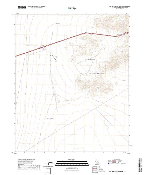
2021 Map of West of Flattop Mountain
USGS Topo · Published 2021About this map
Ward Valley dominates this arid landscape within the Mojave Desert, where the expansive basin is framed by the rising heights of the Sacramento Mountains to the east. Transportation and infrastructure are central to this 2021 survey, centered on the modern Interstate highway corridor as it traverses South Pass. Away from the main thoroughfare, the remote Camino Airstrip sits along a desert track, illustrating the continued reliance on specialized transport in this isolated terrain. Local travel is facilitated by rural routes such as Walter Rd and Water Rd, which cut through the open desert floor. This mapping provides a detailed look at contemporary land management and physical geography in the eastern California desert.
Find a feature on this map
11 named features on this map. Tap any name to fly to it.
Don’t see what you’re looking for? This feature index may not catch every label — zoom into the map to look around manually.
Map Details
Editions of this 2021 West of Flattop Mountain Map
This is the sole edition of this map. No revisions or reprints were ever made.
Other maps of this area

1942 · Amboy
USGS Topo · 1:250,000

1943 · Center Hills
USGS Topo · 1:62,500

1943 · Amboy
USGS Topo · 1:250,000

1943 · Essex
USGS Topo · 1:62,500

1943 · Fenner
USGS Topo · 1:62,500

1943 · Bannock
USGS Topo · 1:62,500

1954 · Needles
USGS Topo · 1:250,000

1956 · Needles
USGS Topo · 1:250,000

1956 · Fenner
USGS Topo · 1:62,500

1956 · Essex
USGS Topo · 1:62,500